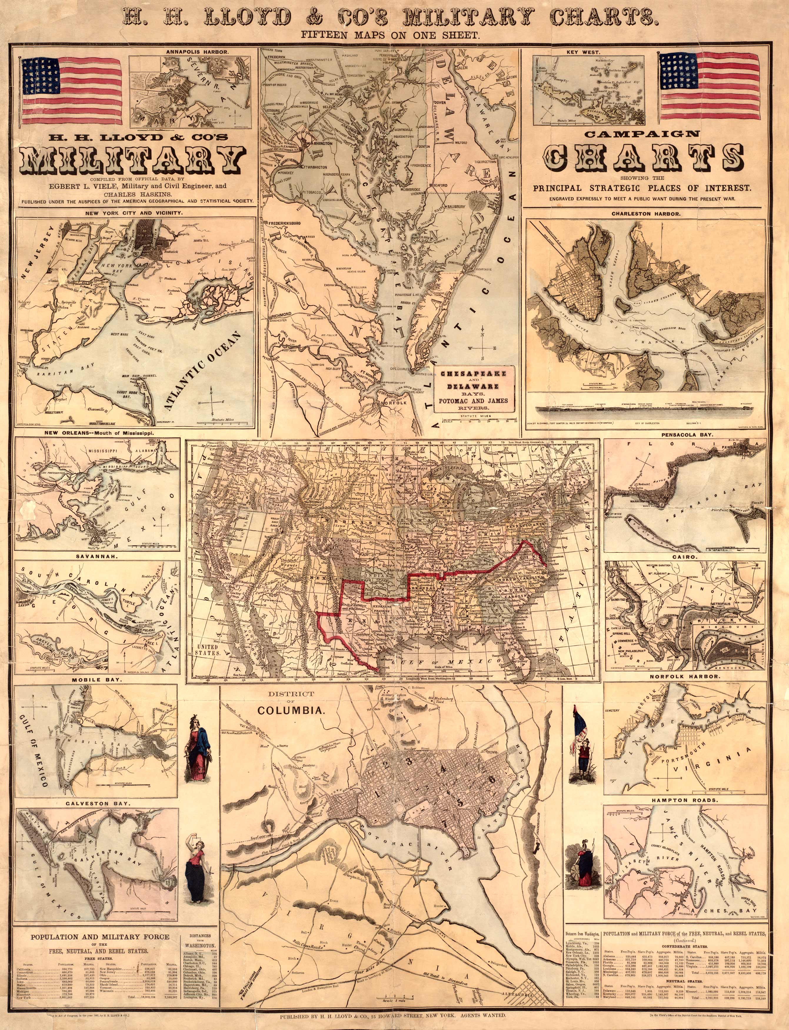
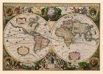
This Civil War chart by Ludovicus Viele shows principal strategic places of interest, the population and military force of the United States, and free, rebel, and neutral states. Places of interest include Charleston Harbor, Pensacola Bay, Chesapeake and Delaware Bays, New York City, New Orleans, Savannah, Mobile Bay, Galveston Bay, Cairo, Norfolk Harbor, Hampton Roads, and the District of Columbia. The map also shows various cities and their distances from Washington. The biggest populations in the states, at this time, show Pennsylvania housing 2.9 million, New York 3.8 million, and Virginia 1 million. The map also counts militia and slave populations. A very informative and insightful Civil War piece.
Additional information
| Weight | 0.25 lbs |
|---|---|
| Dimensions | 34 × 26 × 0.002 in |
Map Maker: Viele, Egbert Ludovicus
Original Production Year: 1861
Original Production Year: 1861


