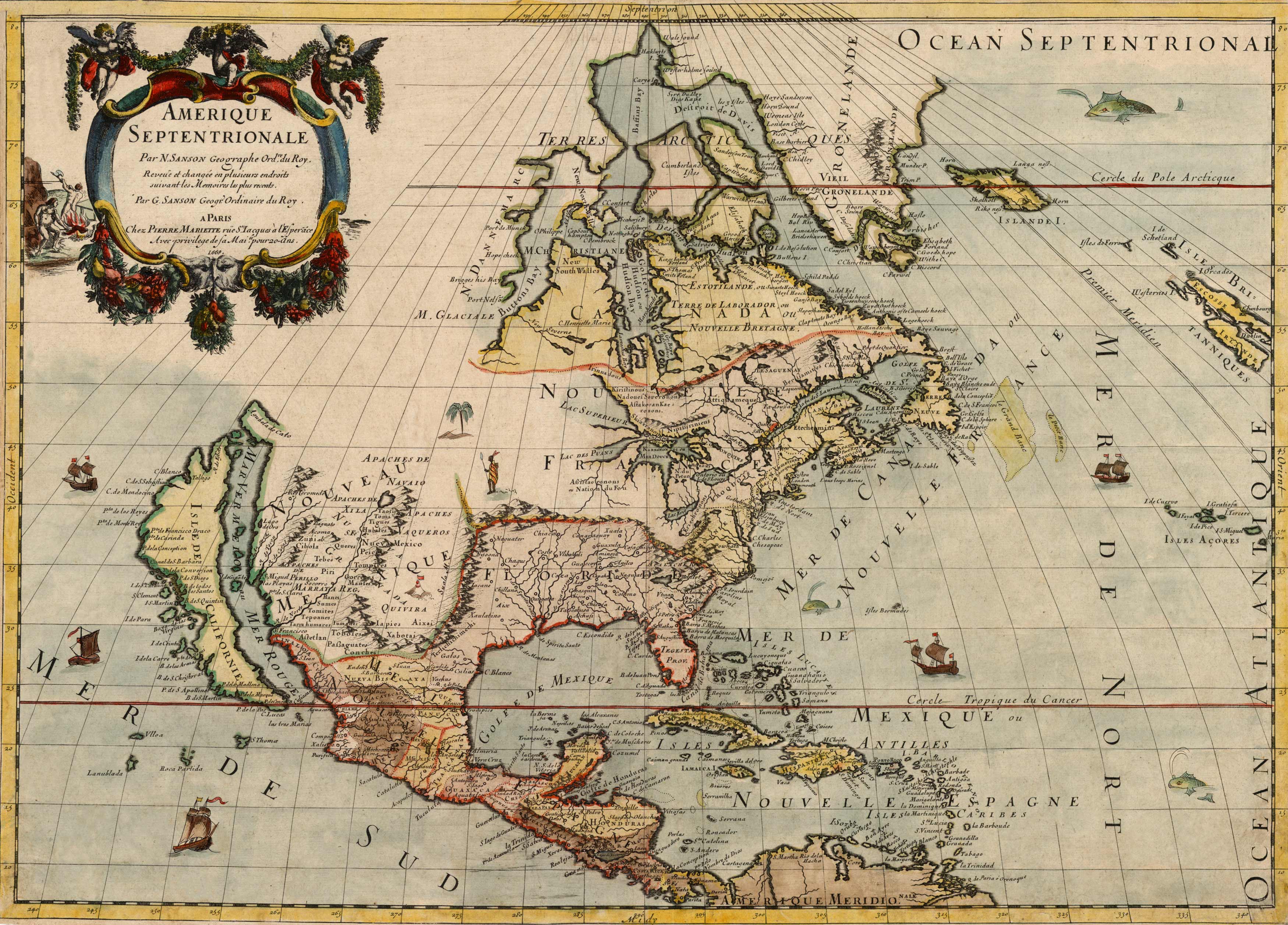
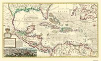
This beautiful 1669 map by Guillaume Sanson and Pierre Mariette showcases North America. This map combines Sanson’s maps of Le Canada, ou Nouvelle France” and “Le Nouveau Mexique, et La Floride.” In this map, Greenland is shown as three islands. Lake Erie and the entire Great Lakes is shown in fine detail, although the western lakes are open-ended. Delaware is referred to as N. Suede, the first map referring to the Swedish colony located there in 1638. California is shown as an island, this originating with Luke Foxe’s map of 1635. This map shows several Indian tribes in New Mexico where the R. del Norte (Rio Grande) falsely flows from a lake and empties into the Gulf of California. “
Additional information
| Weight | 0.25 lbs |
|---|---|
| Dimensions | 15.5 × 22 × 0.002 in |
Map Maker: Guillaume Sanson Pierre Mariette
Original Production Year: 1669
Original Production Year: 1669


