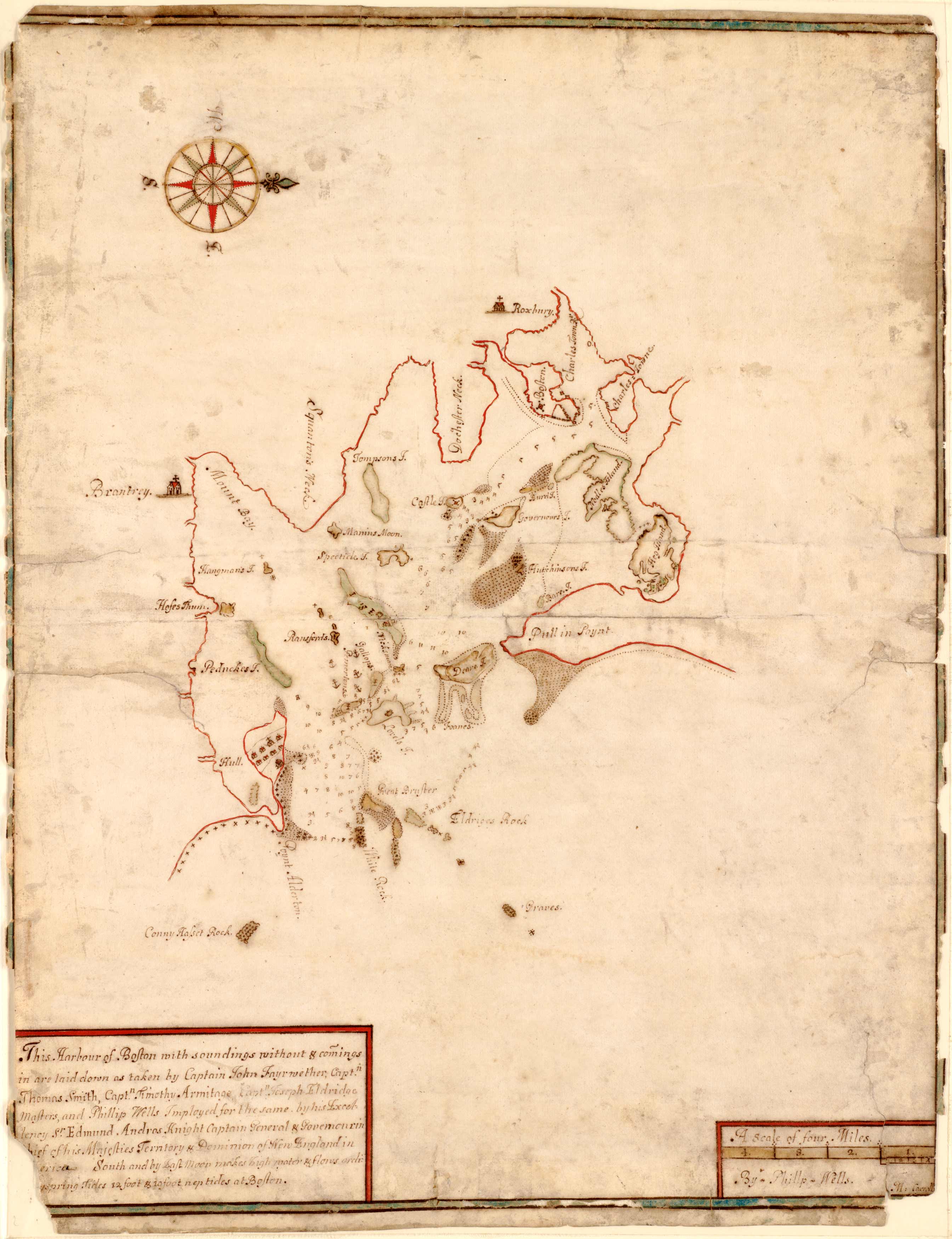
This 1688 manuscript map by Phillip Wells depicts the Boston Harbor. This map is special because it was a manuscript map, done with pen and ink and watercolor. Manuscript maps are unique because they were hand drawn and almost always were one of a kind. This map dates to Sir Edmund Andros’ term as governor from 1685-1689, and it’s suspected that it was sent to the Board of Trade in London. Andros was known to have received orders to secure a map of Boston Harbor as early as April 1688. Wells was one of the most highly skilled of early American cartographers. He based most of the information in the map from several ship captains.
Additional information
| Weight | 0.25 lbs |
|---|---|
| Dimensions | 16.5 × 13 × 0.002 in |
Map Maker: Phillip Wells
Original Production Year: 1688
Original Production Year: 1688


