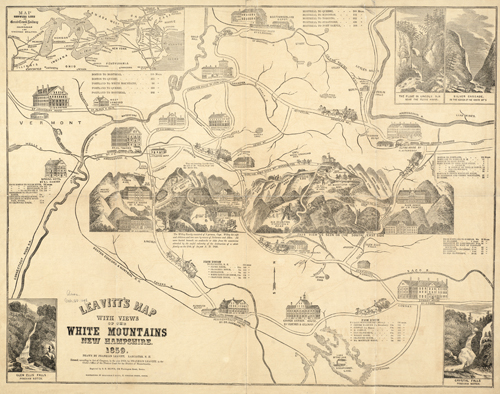
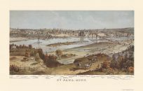
This spectacular map by Franklin Leavitt features the White Mountains in New Hampshire. In the top left inset, the map shows the Grand Trunk Railway where it intersects with the United States and Canada. In the top right inset, two illustrations of the Silver Cascade in the White Mountains and the Flume in Lincoln, New Hampshire are shown. In the lower right inset, an illustration details Crystal Falls. The center piece shows the view from the south east side; it shows a bunch of bunch houses surrounding the trail to the summit.The map shows various ponds, trails, houses, railroads, and mills throughout the area.
Additional information
| Weight | 0.25 lbs |
|---|---|
| Dimensions | 19 × 24 × 0.002 in |
Map Maker: Franklin Leavitt
Original Production Year: 1859
Original Production Year: 1859


