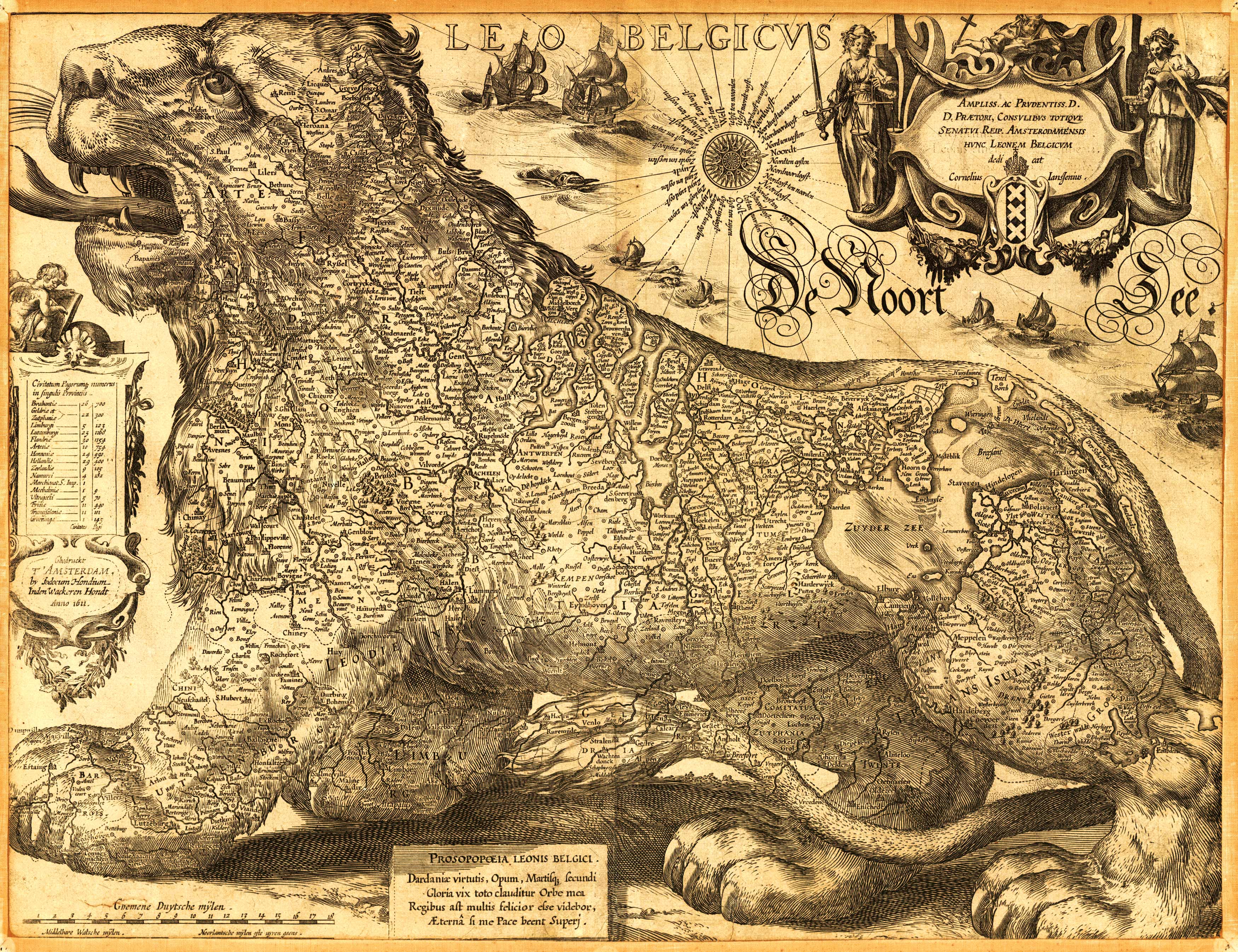
This 1611 map from the famed cartographer Hondius shows present-day Netherlands, Luxembourg, and Belgium as a lion. Interestingly enough, this wasn’t the first depiction of the countries as a lion; Michael Eytzinger, in 1583, did so when the Netherlands were fighting the Eighty Years’ War. The most popular depiction of these countries as a lion was by Claes Janszoon Visscher in 1609. This ornate map labels numerous cities and rivers. Embellishments include a cartouche, a compass, myriad ships, and sea creatures.
Additional information
| Weight | 0.25 lbs |
|---|---|
| Dimensions | 23 × 30 × 0.002 in |
Map Maker: Jodocus Hondius
Original Production Year: 1611
Original Production Year: 1611


