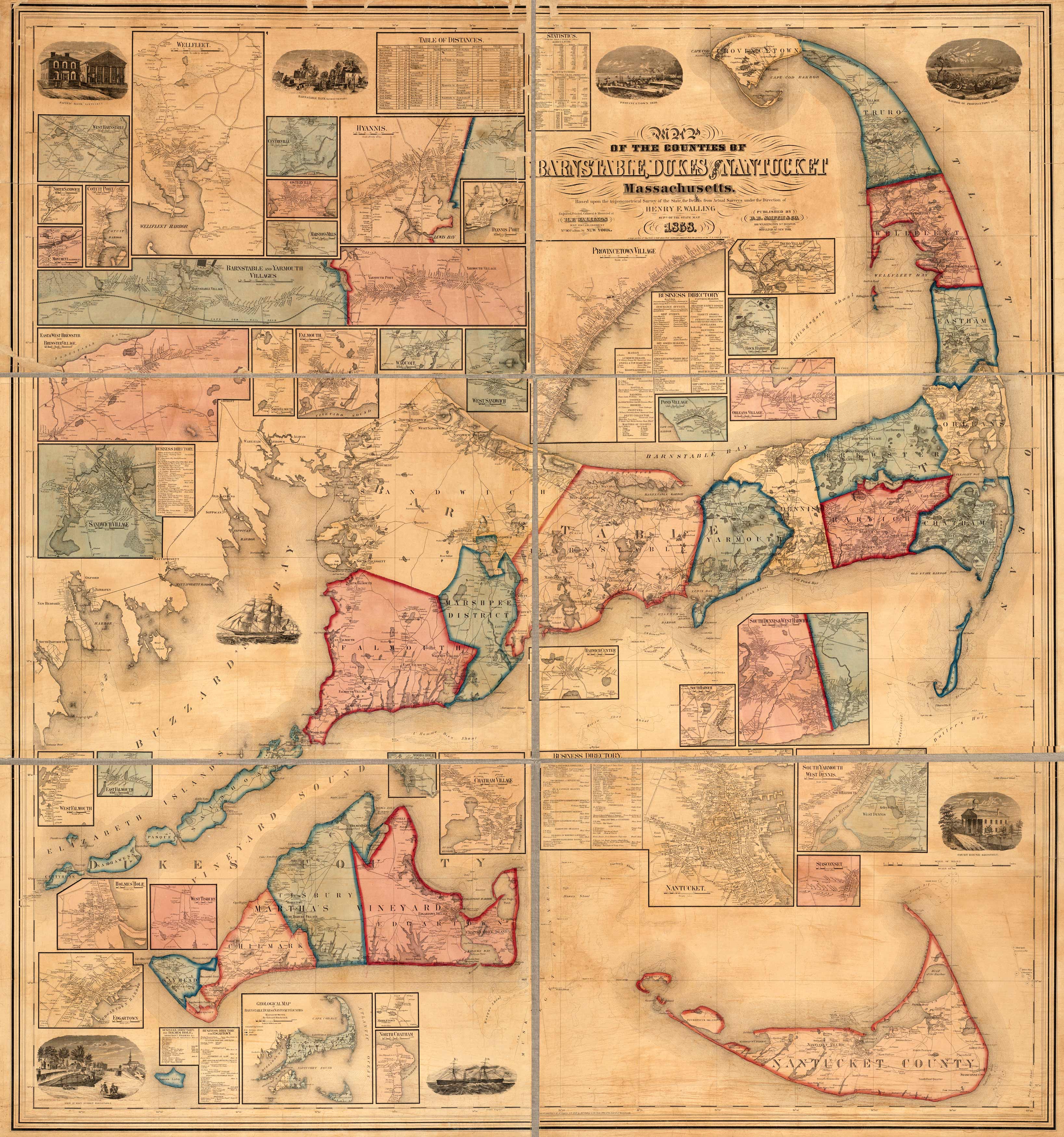
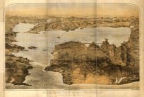
This is a map of the Cape Cod counties of Barnstable, Duke and Nantucket, Massachusetts, based upon the trigonometrical survey of the state. Originally done in 1858 by H.F. Walling.
Additional information
| Weight | 0.25 lbs |
|---|---|
| Dimensions | 57.92 × 54.19 × 0.002 in |
Map Maker: Walling, Henry Francis
Original Production Year: 1858
Original Production Year: 1858


