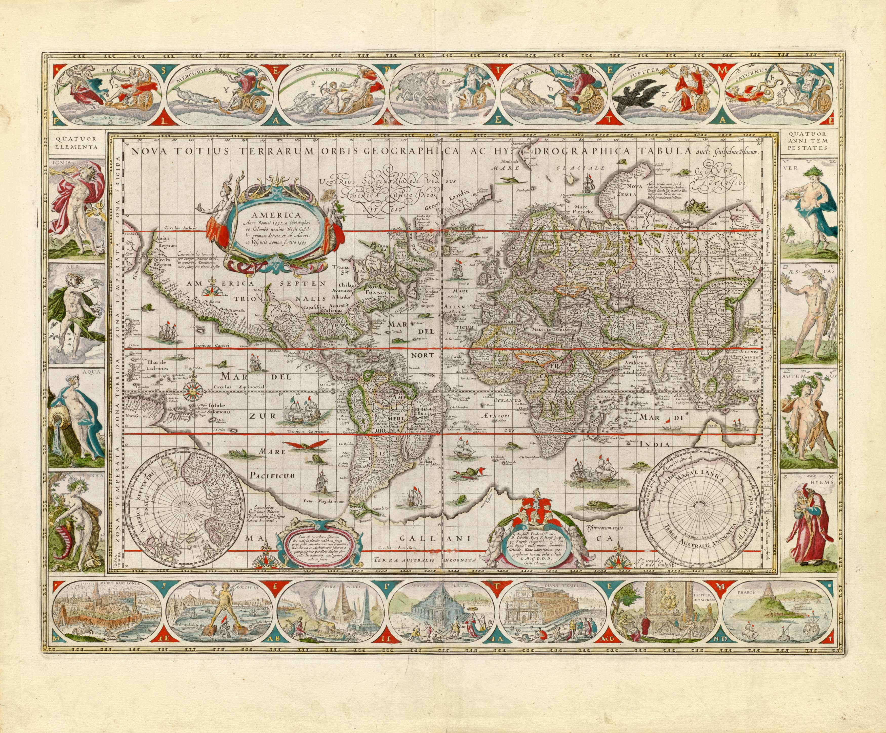
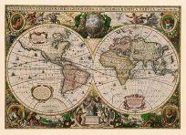
This maps rectangular shape and parallel grid lines indicate the use of Mecator’s cylindrical projection – of particular use to sailing vessels. Hence the greatly exaggerated land masses near the poles. Illustrations of the four seasons, four basic elements, known planets, and seven wonders of the world adorn the margins of the map.
Additional information
| Weight | 0.25 lbs |
|---|---|
| Dimensions | 43.89 × 53 × 0.002 in |
Map Maker: Willem Janszoon Blaeu
Original Production Year: 1638
Original Production Year: 1638


