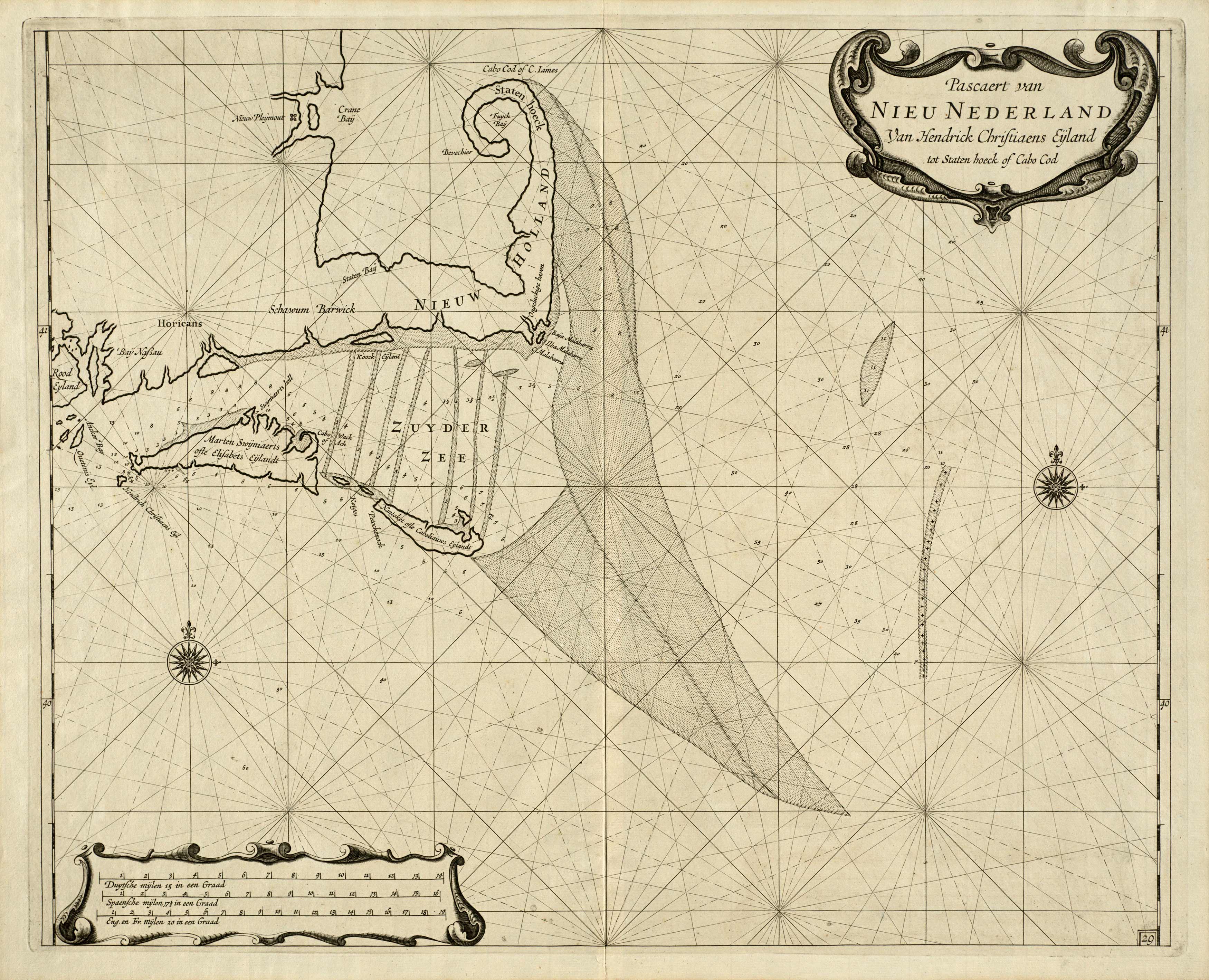
This extremely early coastal survey map of Cape Cod was originally done in 1675 by Arent Roggeveen – a Dutch cartographer.
Additional information
| Weight | 0.25 lbs |
|---|---|
| Dimensions | 32.43 × 40 × 0.002 in |
Map Maker: Arent Roggeveen
Original Production Year: 1675
Original Production Year: 1675


