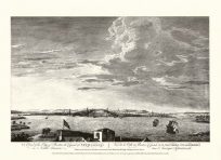
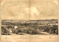
This information-rich map shows city locations, county outlines, railroad lines, rivers, springs, and parks in the area. Parts of Nebraska, Utah, and Wyoming are also shown.
Additional information
| Weight | 0.25 lbs |
|---|---|
| Dimensions | 20 × 22 × 0.002 in |
Map Maker: George Cram
Original Production Year: 1882
Original Production Year: 1882


