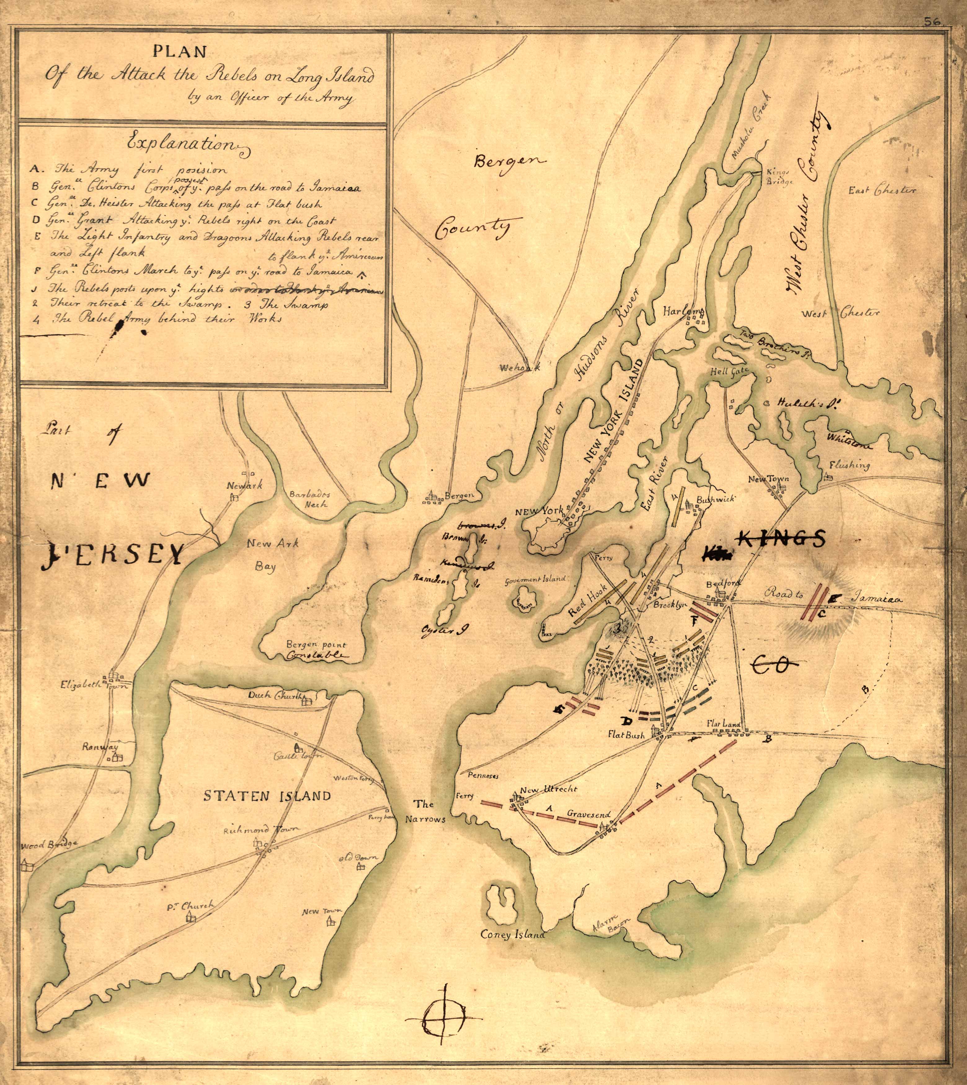
One of the finest plans of New York City is John Montressor’s detailed and decorative survey drawn near the end of the colonial period. It is attractively colored to show topography and the developed area of the city, and an extensive legend identifies the locations of important buildings and places.
Additional information
| Weight | 0.25 lbs |
|---|---|
| Dimensions | 24 × 19.5 × 0.002 in |
Map Maker: John Montressor
Original Production Year: 1766
Original Production Year: 1766


