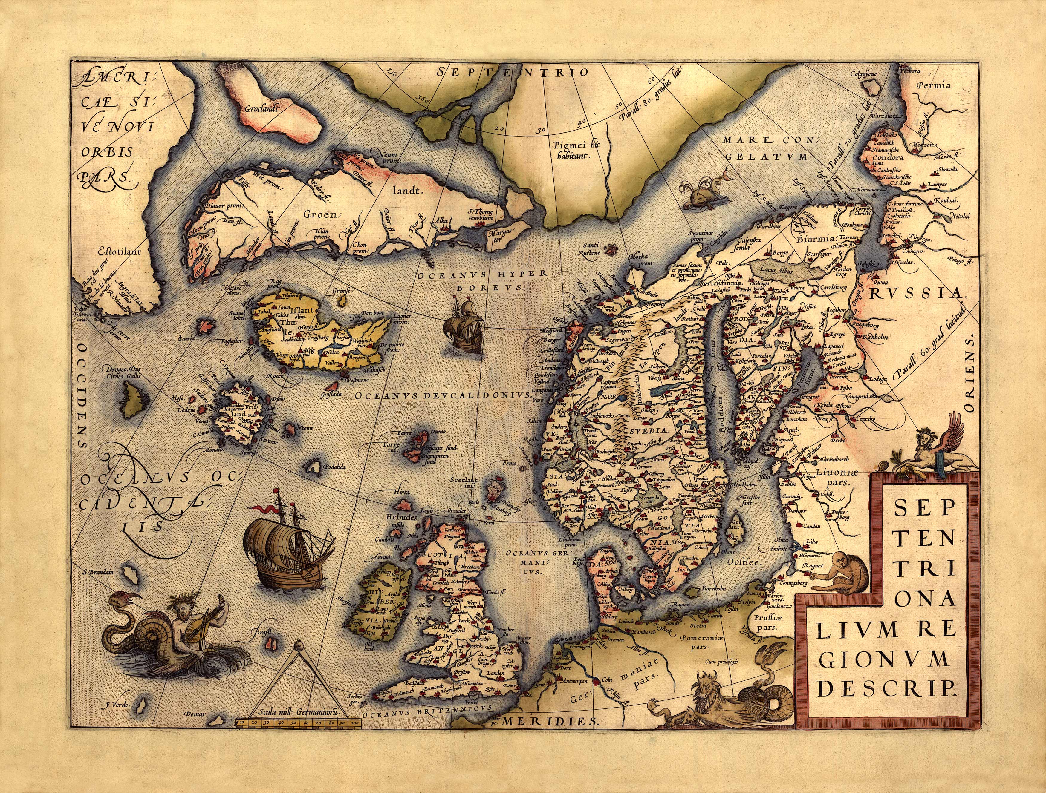
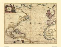
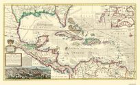
Septentrionalium Regionum (Northern Regions) showing Scandinavia. With this map you have the entire Nordic world (by way of speaking), because it covers all the Northern Countries as far as they are known at this day. These are in the first place the land which the Ancient Geographers considered to be an Island named Scandia, which in our times is understood to be the Kingdom of Sweden, Norway and part of Denmark. Then there are these Islands: England, Scotland and Ireland, Frieslandt, Iceland and Greenland.” from text on back of map translated by Marcel van den Broecke”
Additional information
| Weight | 0.25 lbs |
|---|---|
| Dimensions | 18 × 24 × 0.002 in |
Map Maker: Abraham Ortelius
Original Production Year: 1570
Original Production Year: 1570


