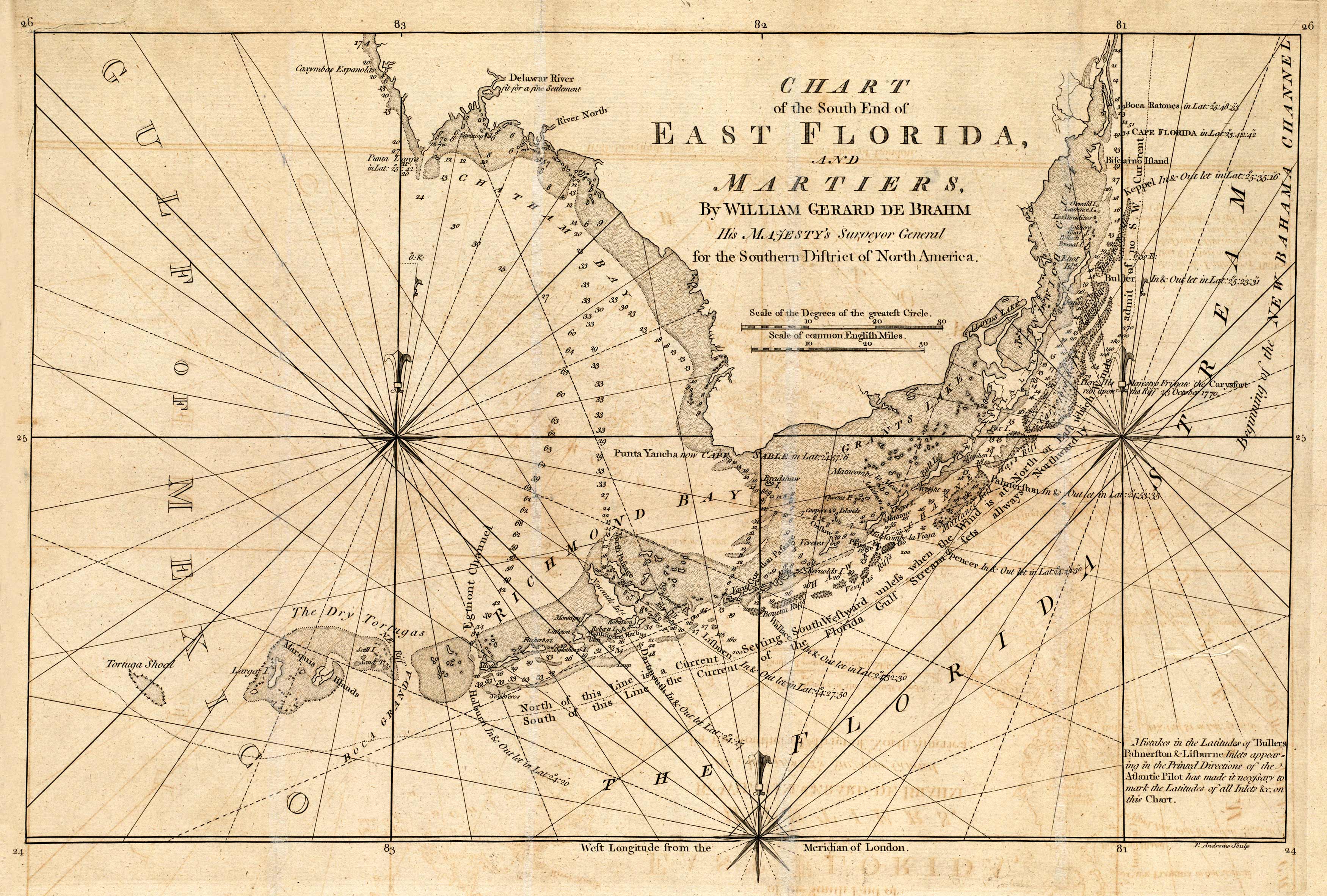
This map of east Florida shows the Delaware River, Grant’s Lake, Richmond’s Bay, and more. It contains information on shoals, the currents, and wind patterns of the area.
Additional information
| Weight | 0.25 lbs |
|---|---|
| Dimensions | 9.1 × 13.5 × 0.002 in |
Map Maker: De Brahm, John Gerar William
Original Production Year: 1771
Original Production Year: 1771


