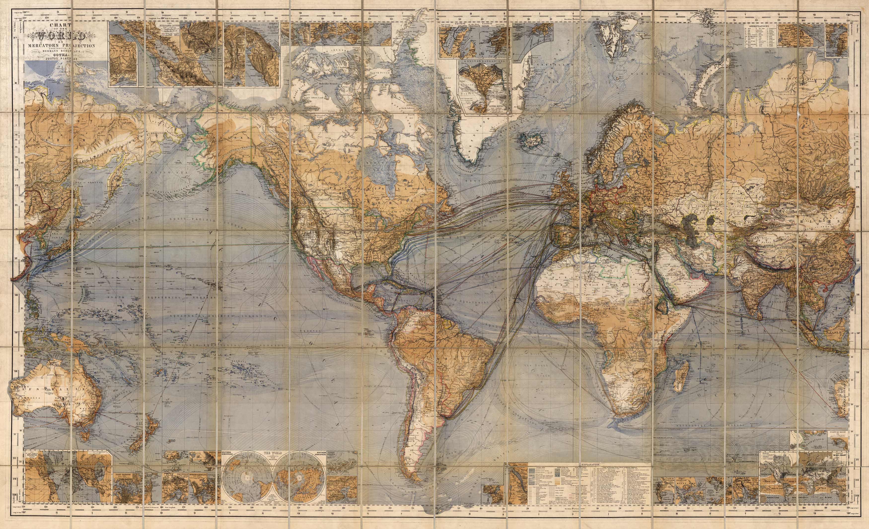
This is an incredibly detailed map showing ocean currents, steamship routes, pack ice, and topography. Numerous inset maps included around the periphery.
Additional information
| Weight | 0.25 lbs |
|---|---|
| Dimensions | 32.26 × 53 × 0.002 in |
Map Maker: Hermann Berghaus/Justus Perthes
Original Production Year: 1879
Original Production Year: 1879


