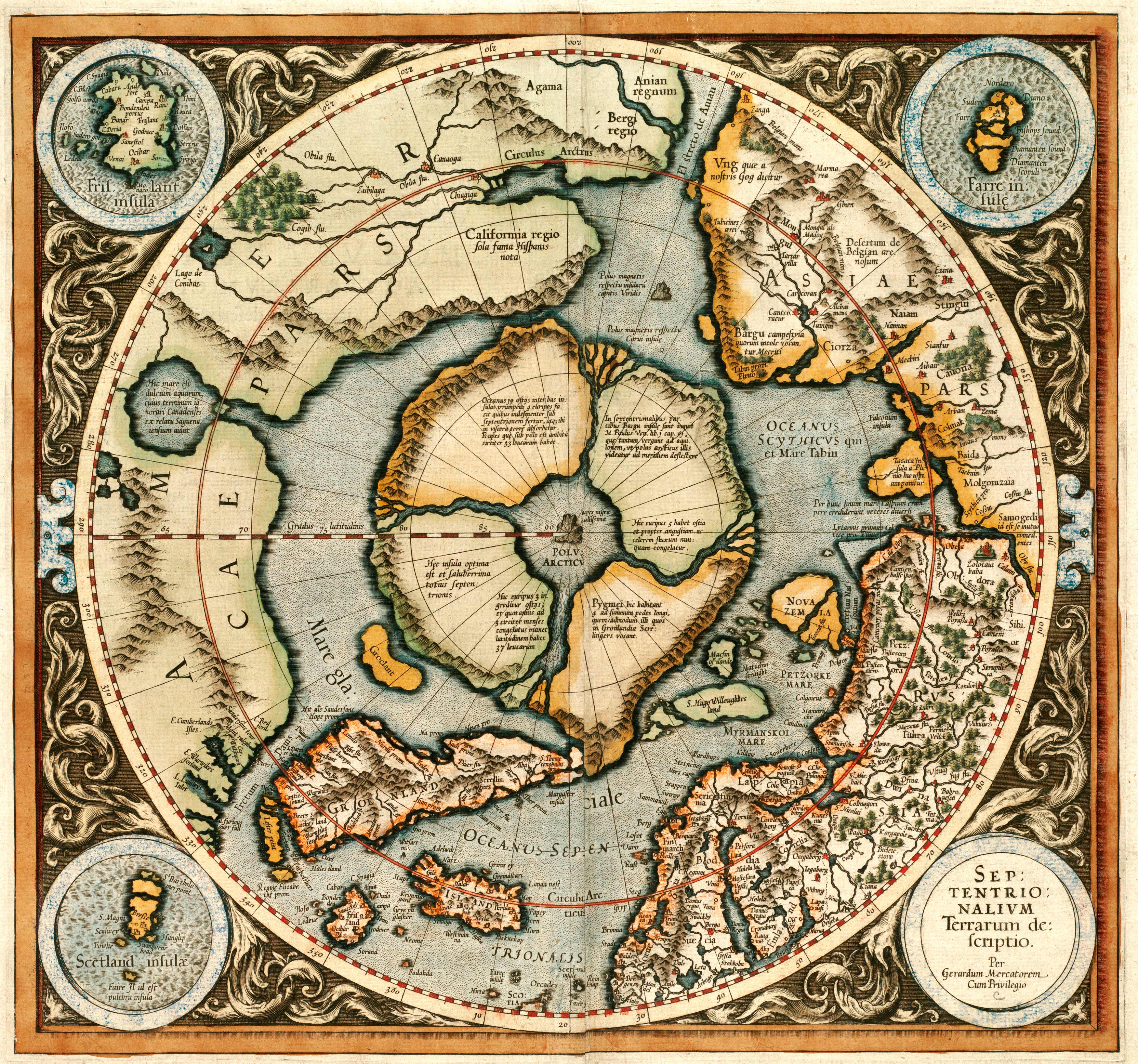
This 1595 map by Gerhard Mercator shows the arctic regions. Mercator was the first cartographer to create a polar projection of the earth. This individual map was based on an inset from a world map that Mercator published in 1569. In the center, the pole is depicted as four islands, with four rivers dividing each one. This depiction stems from mythical account of the arctic regions from this time; the myth says the world’s oceans gathered at a whirlpool in the arctic where there was a rock. In the inset, Scotland is shown, along with the fictional island Frisland, which appeared on all maps of the region from this time. Originally thought to be Iceland, but after a map known as the Zeno map published it separately, it appeared on all maps that way afterwards.
Additional information
| Weight | 0.25 lbs |
|---|---|
| Dimensions | 19 × 20 × 0.002 in |
Map Maker: Mercator, Gerhard
Original Production Year: 1595
Original Production Year: 1595


