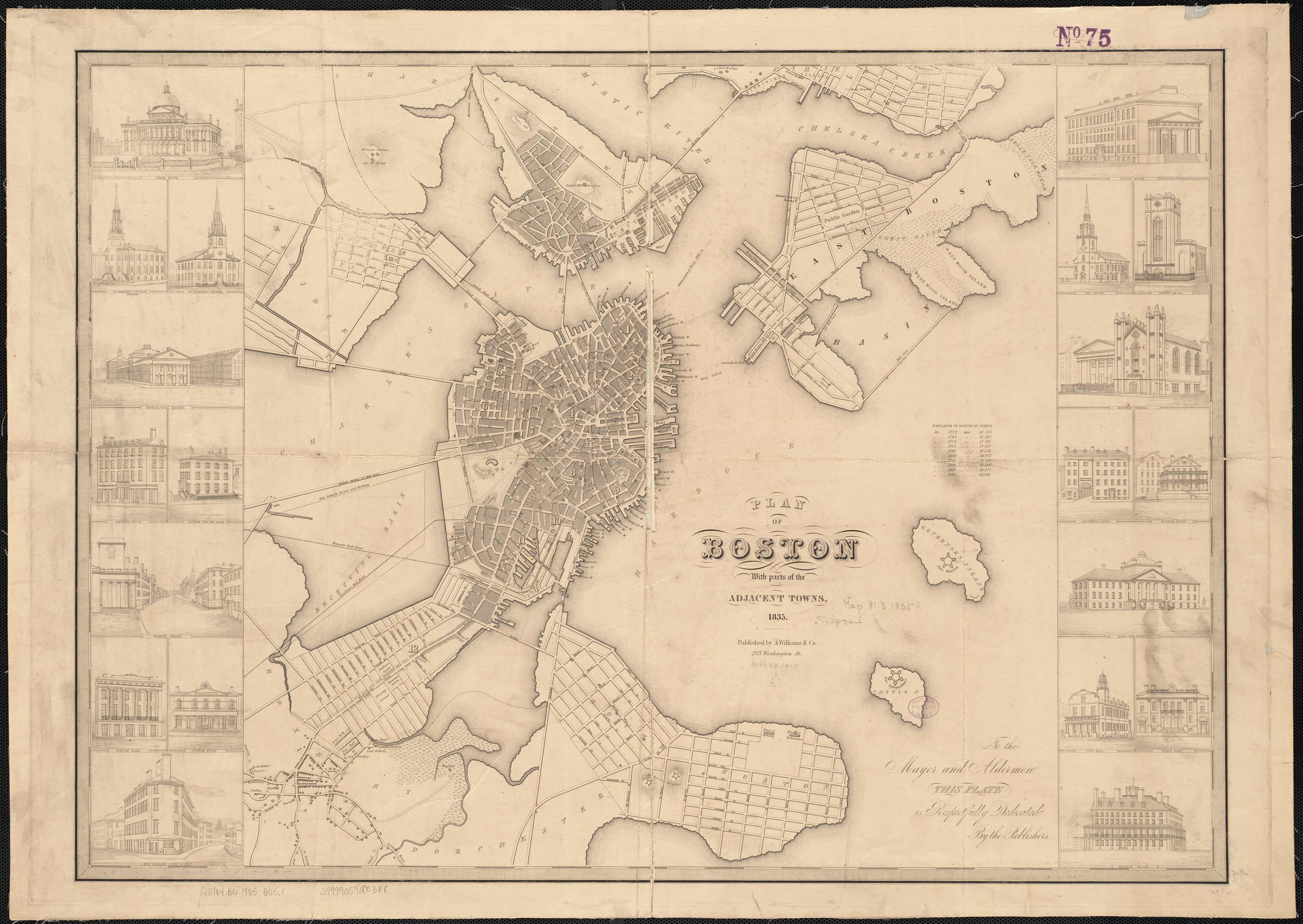
This map of Boston by George W. Boynton shows the city as it was in 1835. The map also captures Cambridge and Chelsea. It names streets, the wharves, the jail, the Court House, a cemetery, the State House, various forts, factories, distilleries, churches, and more. The seventeen insets show popular locations and views, including Tremont Street, the Asylum for the Blind, the New England Coffee House, City Hall, and the State Bank.
Additional information
| Weight | 0.25 lbs |
|---|---|
| Dimensions | 23 × 32 × 0.002 in |
Map Maker: Boynton, George W.
Original Production Year: 1835
Original Production Year: 1835


