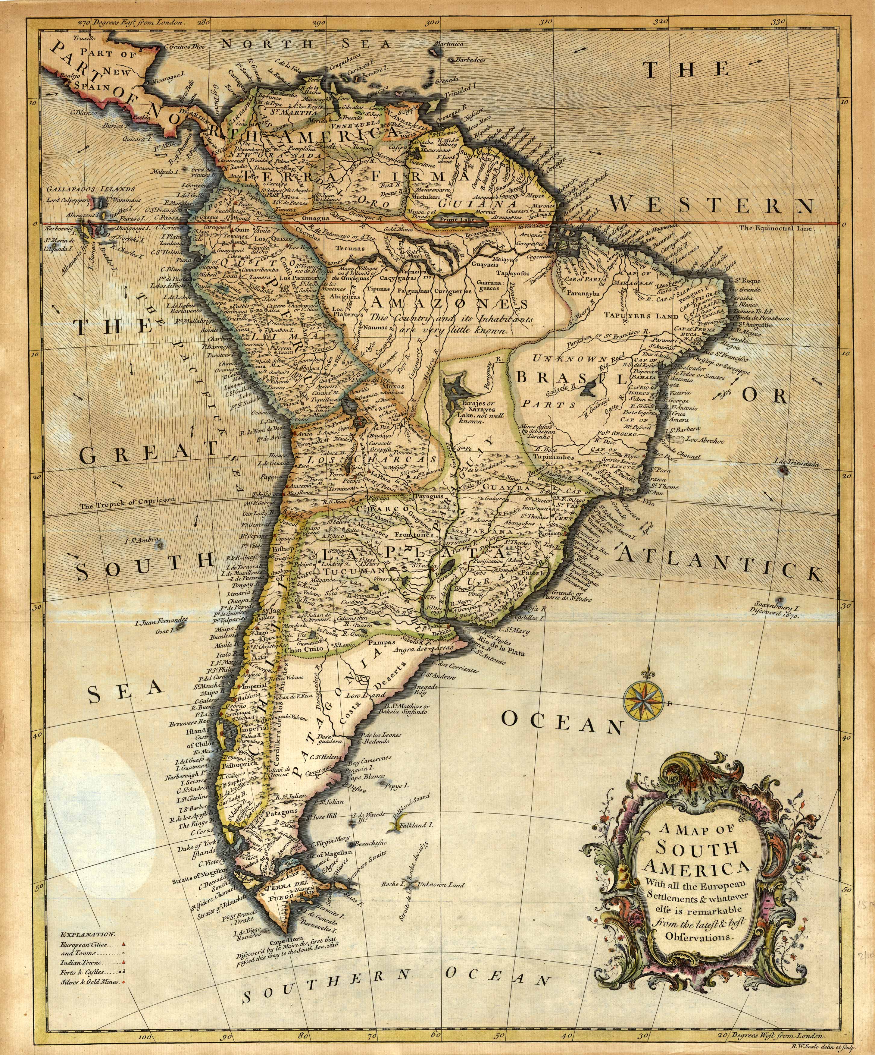
This detailed 1756 Seale map of South America details Brazil, the Amazones, La Plata, Peru, Patagonia,
the Galapagos Islands, and more! It contains a key indicating European cities, Indian towns, forts and castles,
and silver/gold mines. It also labels geographic details such as mountains, islands, and rivers.
An insightful peek of South America in 1756!
Additional information
| Weight | 0.25 lbs |
|---|---|
| Dimensions | 19.6 × 16.1 in |
Map Maker: Richard William Seale
Original Production Year: 1756
Original Production Year: 1756


