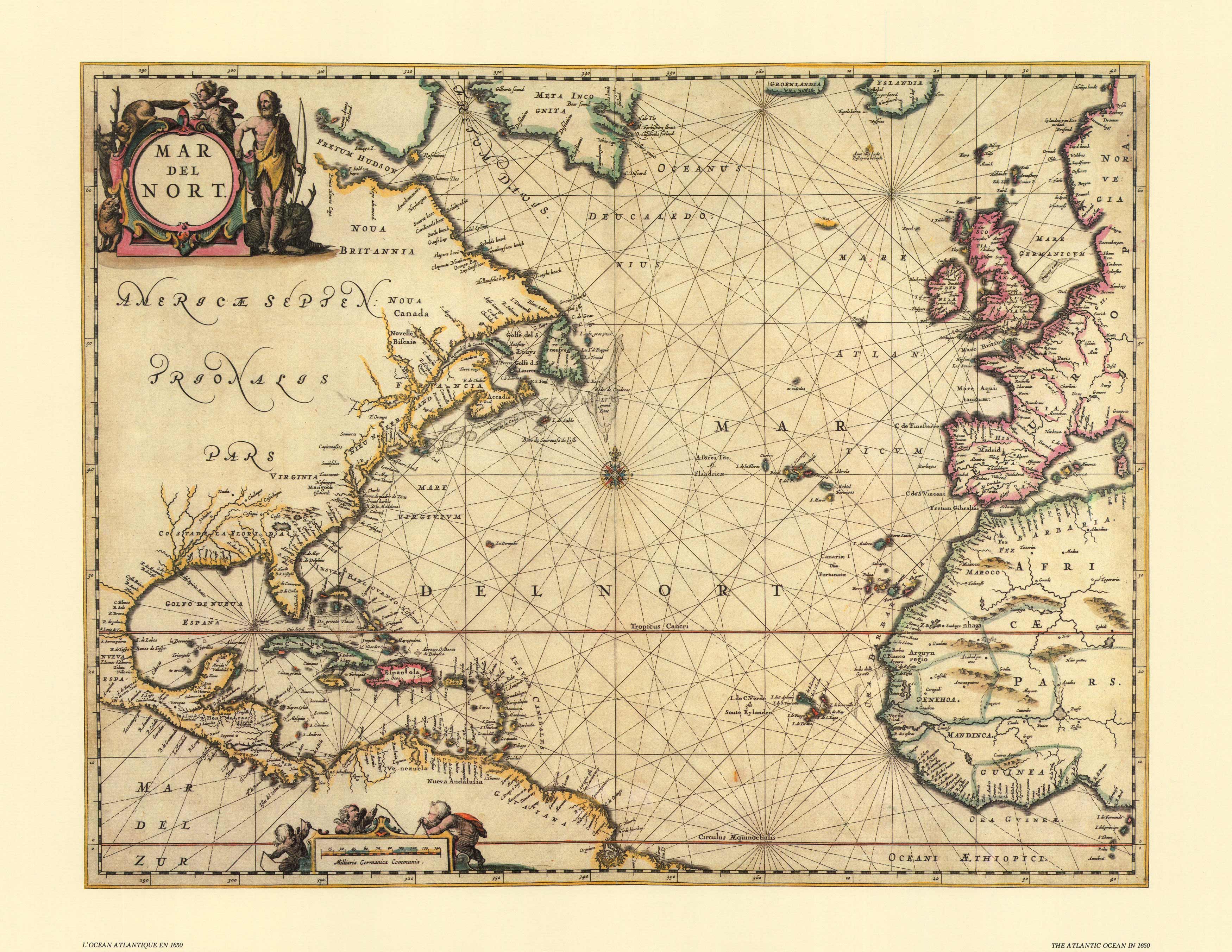
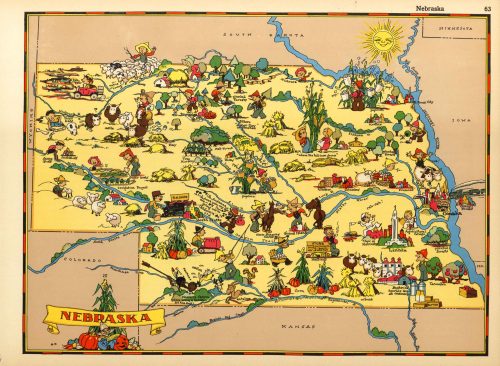
One of the most appealing maps in Jan Jansson’s Novus Atlas was this meticulously engraved and delicately colored representation of the North Atlantic and the coastlines of the continents formaing its boundaries. Compass roses and rhumb lines suggest that Jansson intended it to be used for planning voyages-real or imagined-but this chart is also a fine example of decorative cartography.
Additional information
| Weight | 0.25 lbs |
|---|---|
| Dimensions | 18.95 × 24 × 0.002 in |
Map Maker: Jan Jansson
Original Production Year: 1650
Original Production Year: 1650


