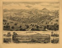
Fuzzy imageThis map of Marin County, California was done by Harry Freese and published by Thomas Brothers circa 1940. This is one of the earliest maps of Marin County that we have seen. It shows the area from the Northern tip of San Francisco, including the Golden Gate Bridge, up to the Estero de Americano River, Valley Ford, and Bloomfield. Also included is an inset map showing California by county.
- Invalid Image Size
Additional information
| Weight | 0.25 lbs |
|---|---|
| Dimensions | 36 × 36 × 0.002 in |
Map Maker: Thomas Bros.
Original Production Year: ca. 1940
Original Production Year: ca. 1940


