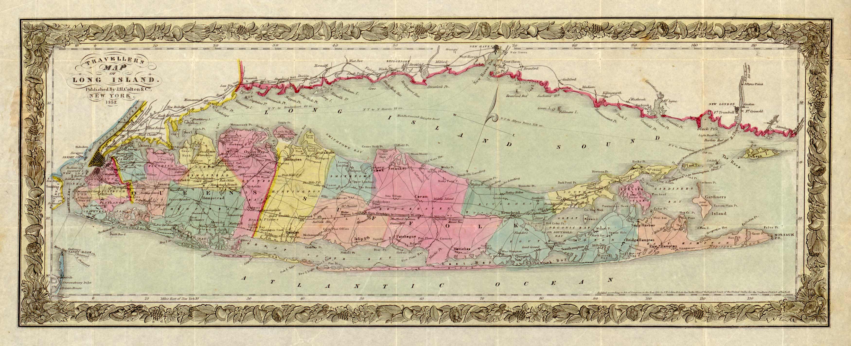
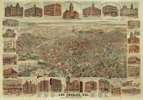
A cool map of Long Island from J.H. Colton in 1857. Different colors denote the boundaries of New Jersey, Staten Island, New York City and State.
Additional information
| Weight | 0.25 lbs |
|---|---|
| Dimensions | 12 × 30 × 0.002 in |
Map Maker: J.H. Colton
Original Production Year: 1857
Original Production Year: 1857


