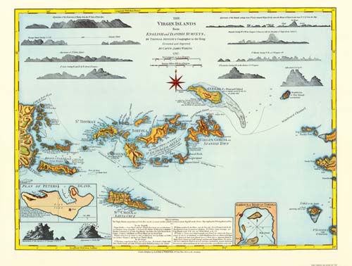
This vibrant sailing chart of the Virgin Islands was issued by Thomas Jefferys, from the surveys by Captain James Waring. This edition is from Laurie & Whittle’s West-India Atlas.
Additional information
| Weight | 0.25 lbs |
|---|---|
| Dimensions | 18.2 × 24 × 0.002 in |
Map Maker: Thomas Jefferys
Original Production Year: 1797
Original Production Year: 1797


