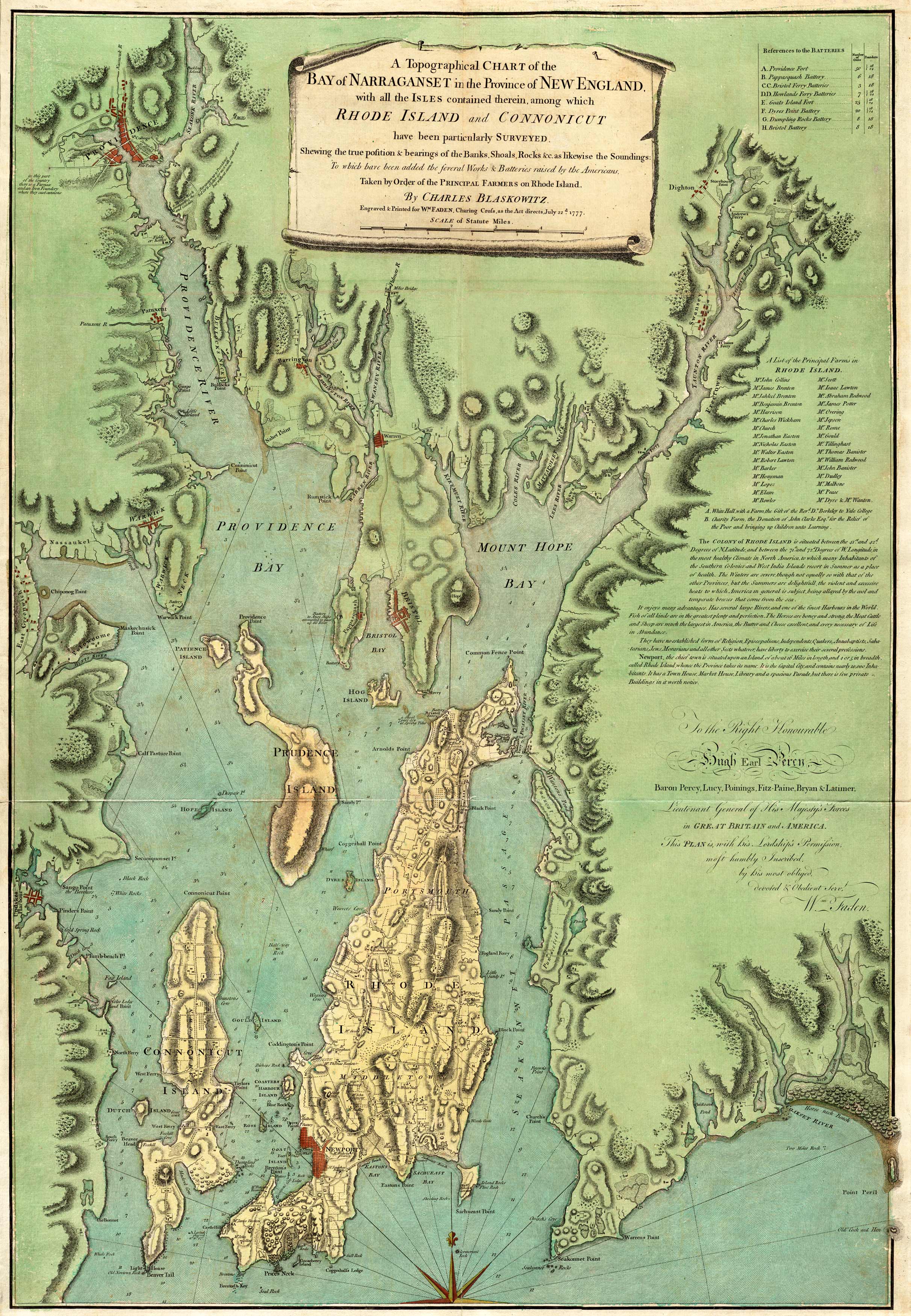
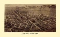
This topographical 1777 chart by Charles Blaskowitz features Narraganset and New England territories. It also showcases parts of Connecticut and Rhode Island. This chart provides the locations of area banks, shoals, rocks, lighthouses, and soundings. The map includes a promotional piece of the Rhode Island colony and a list of principal farms there as well.
- Invalid Image Size
Additional information
| Weight | 0.25 lbs |
|---|---|
| Dimensions | 39 × 27 × 0.002 in |
Map Maker: Charles Blaskowitz
Original Production Year: 1777
Original Production Year: 1777


