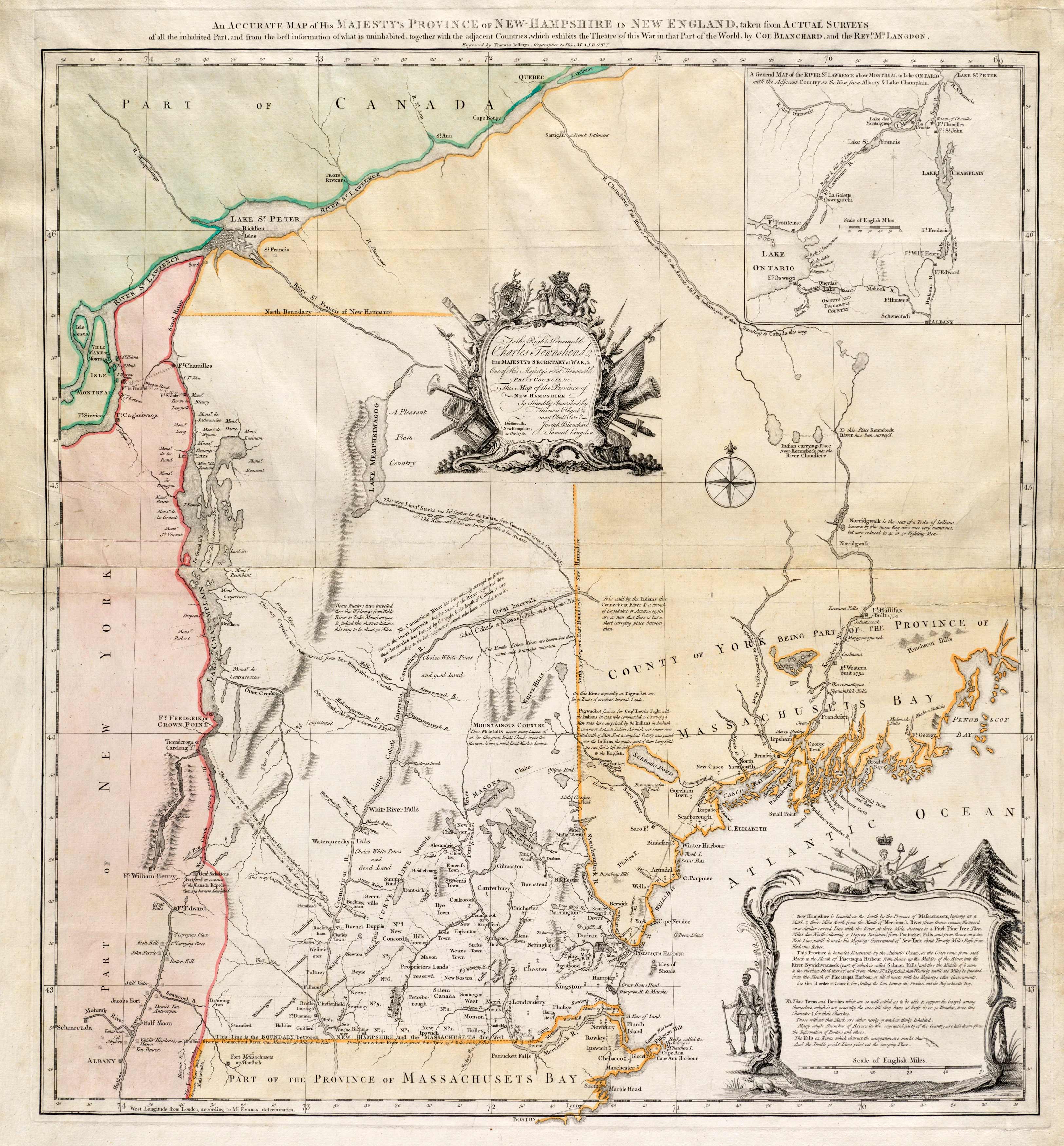
This Revolutionary War map by Joseph Blanchard features what was Maine, New Hampshire, and Vermont. It shows parts of Massachusetts Bay, with Boston and Salem labeled. The map includes historical notes of encounters with Native Americans and the accuracy of different areas. In the inset, the map shows the St. Lawrence River above Montreal.
- Invalid Image Size
Additional information
| Weight | 0.25 lbs |
|---|---|
| Dimensions | 17 × 16 × 0.002 in |
Map Maker: Blanchard, Joseph
Original Production Year: 1761
Original Production Year: 1761


