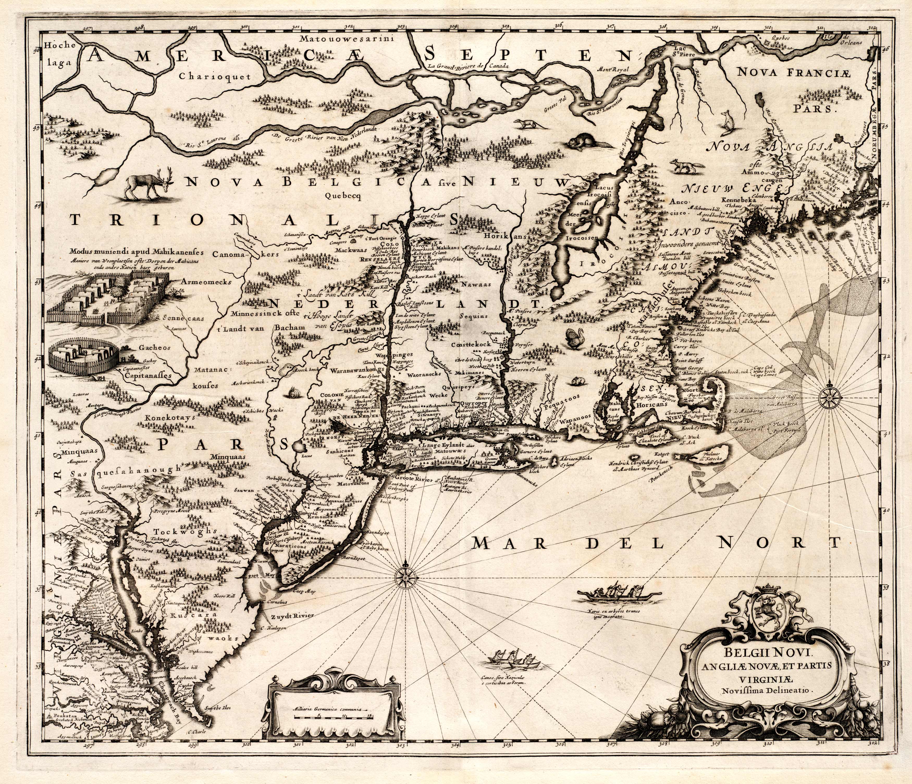
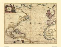
This 1650 map by Jansson and Jan depicts what was New England, New Netherland, and New France. The map expands as far south as the Chesapeake Bay and Jamestown areas and as far north as Quebec. This map contains information of the various Native American tribes that surrounded the colonies. Illustrations of native animals are also interspersed throughout the map. Geographic information and the locations of numerous lakes and ponds are also provided. There were no fewer than twenty-seven copies when this map was printed, and it remained in circulation up to a century after it wasn’t relevant.
Additional information
| Weight | 0.25 lbs |
|---|---|
| Dimensions | 22 × 26 × 0.002 in |
Map Maker: Jansson, Jan
Original Production Year: 1650
Original Production Year: 1650


