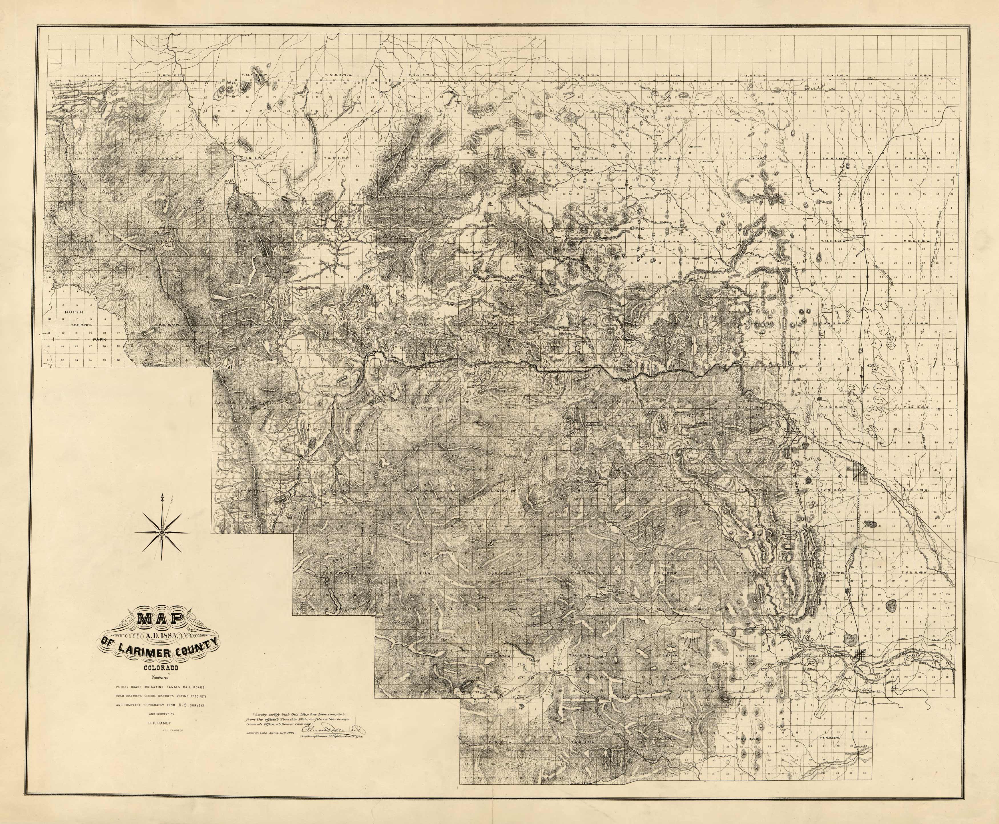
This map was compiled by surveys and official records, by H.P. Handy, a civil engineer, in 1884. It shows landowners, roads, irrigating canals, railroads, school districts, voting precincts, and complete topography of the area. Relief is shown by hachures.
Additional information
| Weight | 0.25 lbs |
|---|---|
| Dimensions | 16.5 × 20 × 0.002 in |
Map Maker: H.P. Handy
Original Production Year: 1884
Original Production Year: 1884


