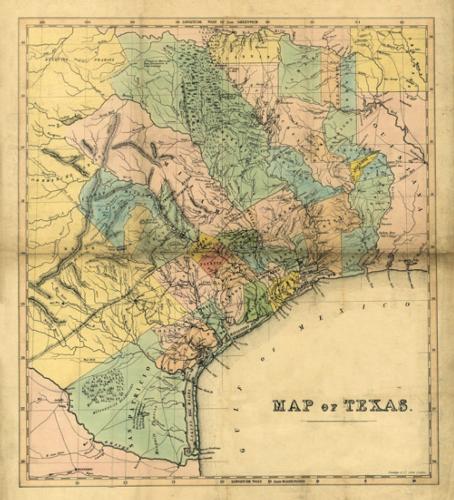
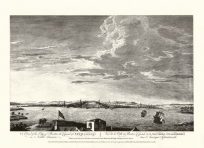
This 1840’s map of Texas by William Bollaert details counties, cities, trails, rivers, lakes, forts, mines and hills throughout the state. This map also captures where there once were droves of mustang and buffalo. Standidge’s signature rests in the bottom right corner.
Additional information
| Weight | 0.25 lbs |
|---|---|
| Dimensions | 27 × 25 × 0.002 in |
Map Maker: Standidge & Co., Bollaert
Original Production Year: 1840
Original Production Year: 1840


