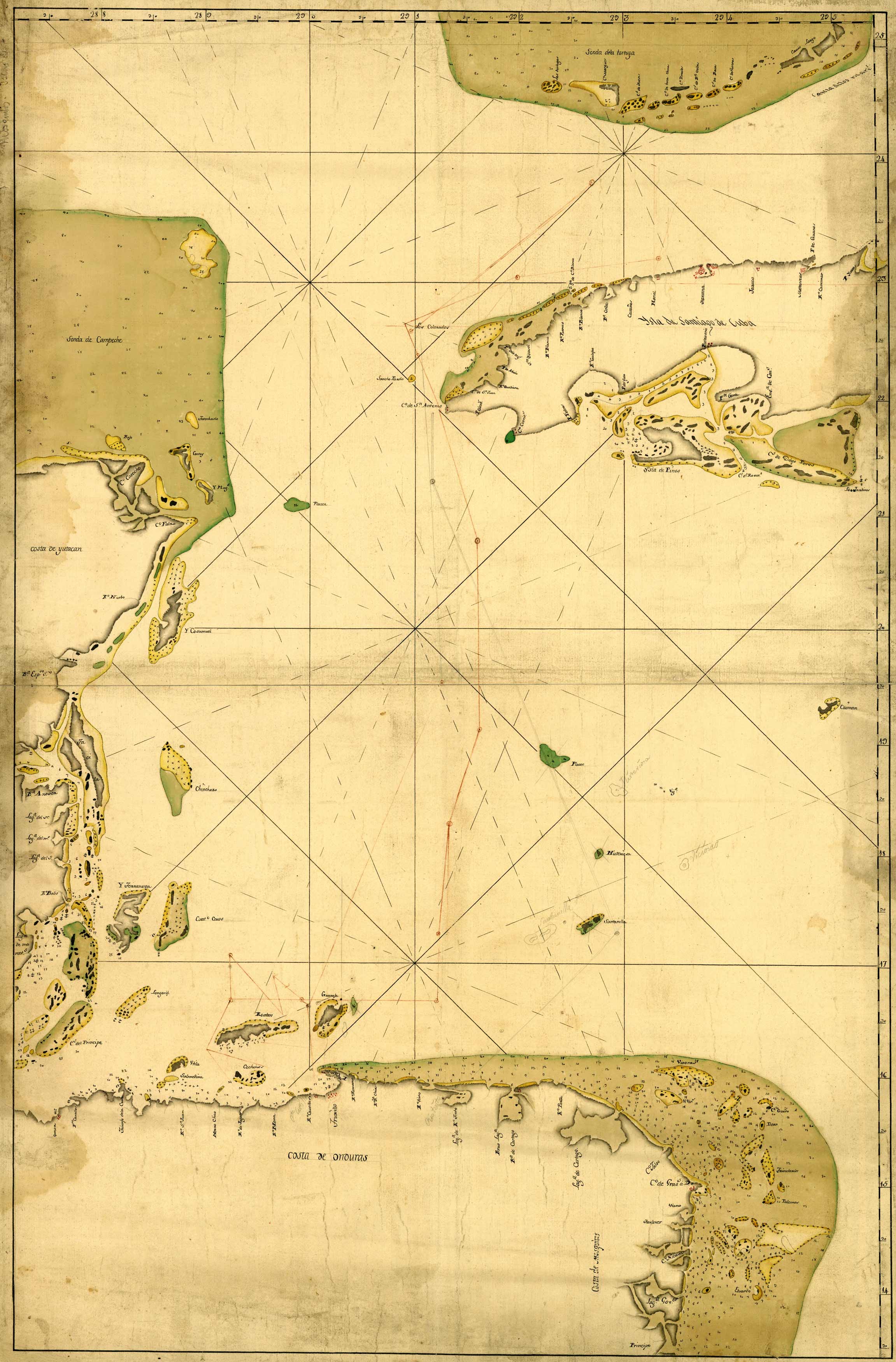
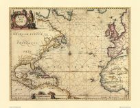
This is a very unique manuscript map showing the western portion of the Caribbean Sea, from Florida Keys to Nicaragua. This map is special because it’s a manuscript map – a one of a kind, hand drawn map using pen, ink and watercolor. The Florida keys are shown in green at the very top right of the map. The map shows the Yucatan Peninsula, Belize, Honduras as well as Cuba below the Florida Keys.
Additional information
| Weight | 0.25 lbs |
|---|---|
| Dimensions | 24 × 15.8 × 0.002 in |
Map Maker: Unknown
Original Production Year: 1700s
Original Production Year: 1700s


