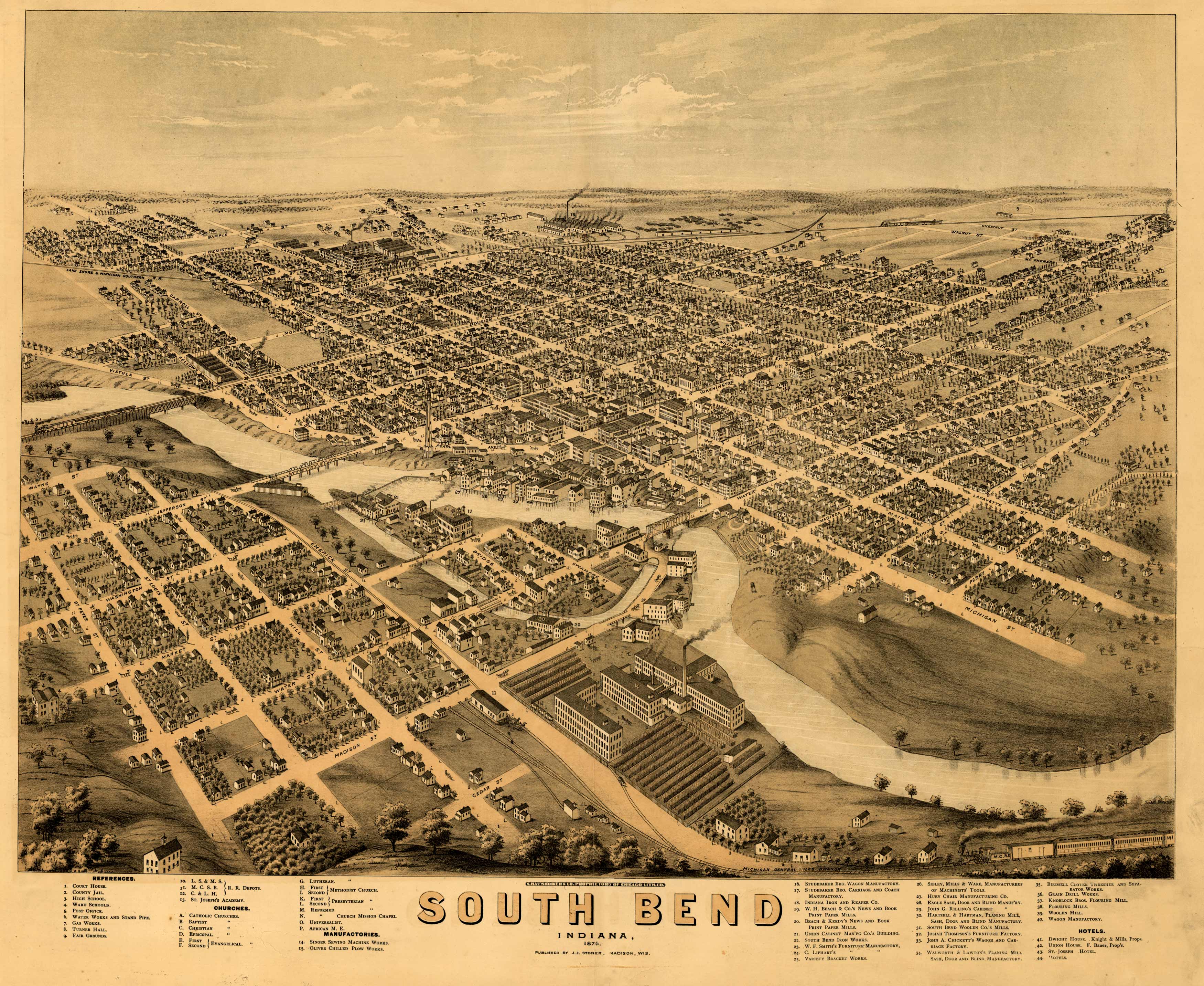
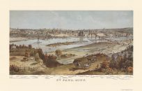
This bird’s-eye view of South Bend, Indiana was originally created in 1874 by A. Ruger. He highlights the St. Joseph River flowing through town and includes an index of points of interest, including Notre Dame.
Additional information
| Weight | 0.25 lbs |
|---|---|
| Dimensions | 19.6 × 24 × 0.002 in |
Map Maker: A. Ruger
Original Production Year: 1874
Original Production Year: 1874


