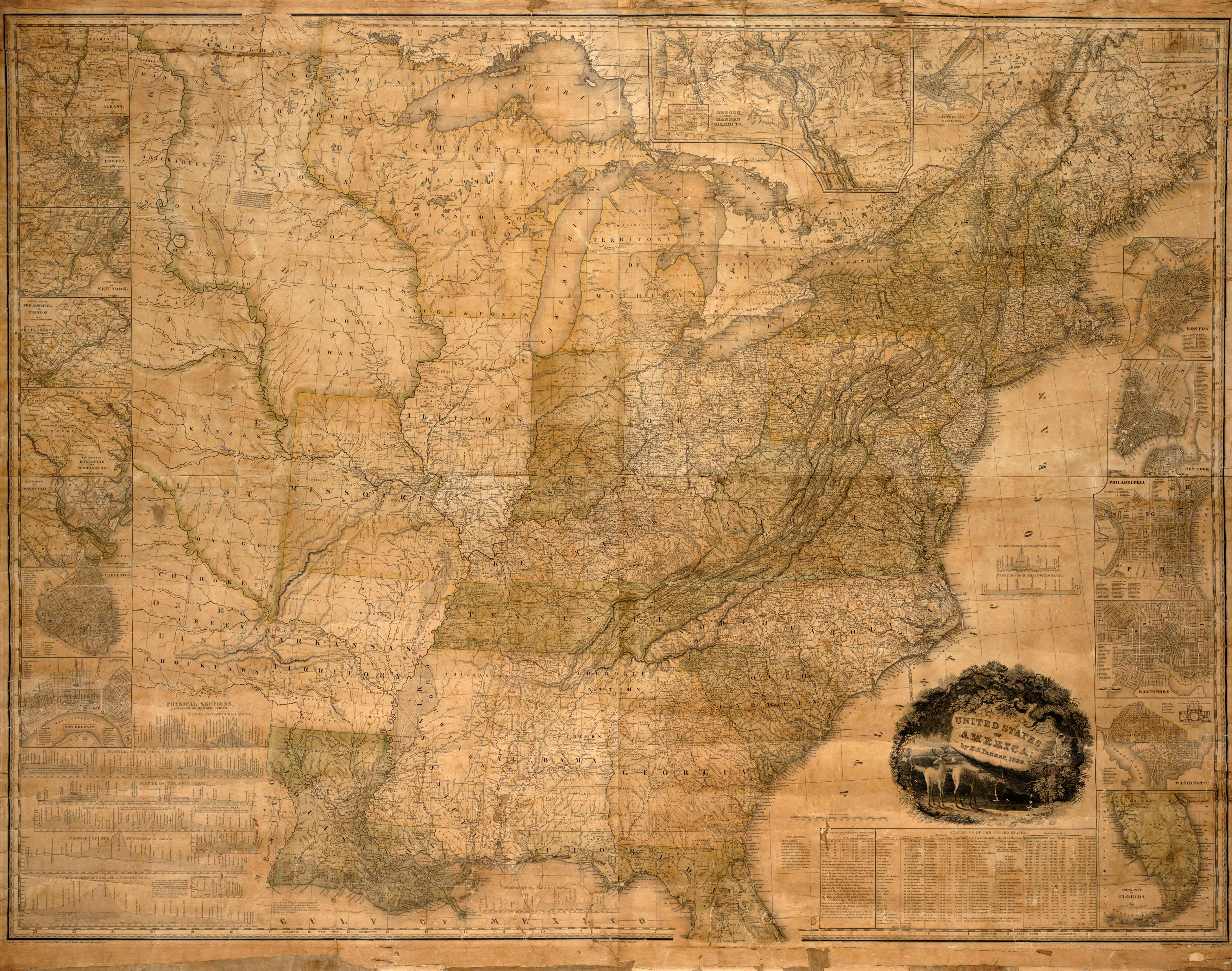
Tanner’s 1829 map of the United States of America shows the eastern two-thirds of the country, and includes insets of major eastern cities as well as an inset of the Pacific Northwest.
Additional information
| Weight | 0.25 lbs |
|---|---|
| Dimensions | 41.8 × 53 × 0.002 in |
Map Maker: Henry Schenck Tanner
Original Production Year: 1829
Original Production Year: 1829


