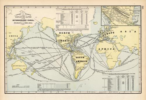
Chart of the World showing Distances Saved by the Interoceanic Canal, of Nicaragua and Costa Rica
Out of stock
We at Art Source International are excited to offer this rare map of the World showing the distances saved by the Interoceanic Canal, of Nicaragua and Costa Rica, from George F. Crams 1898 “Standard American Railway System Atlas”. This map is unique in that it is more detailed and larger than his standard mapping style.
Size: 16.25 x 10.5 inches
Condition: Excellent
Map Maker: George F. Cram
Coloring: Lithographic Color
Year: 1898
Condition: Excellent
Map Maker: George F. Cram
Coloring: Lithographic Color
Year: 1898
Out of stock


