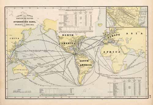
Chart of the World Showing Distances Saved by the Interoceanic Canal, of Nicaragua and Costa Rica
In stock
Art Source International is proud to offer this hard to find map from George F. Crams 1894 Standard American Railway System Atlas. This map of the Chart of the World (showing distances saved by the interoceanic canal, of Nicaragua and Costa Rica) was printed larger and on heavier paper as compared to Cram’s normal atlases of the time.
Size: 16 x 10.25 inches
Condition: Very Good, light age toning
Map Maker: George F. Cram
Coloring: Printed Color
Year: 1894
Condition: Very Good, light age toning
Map Maker: George F. Cram
Coloring: Printed Color
Year: 1894
In stock


