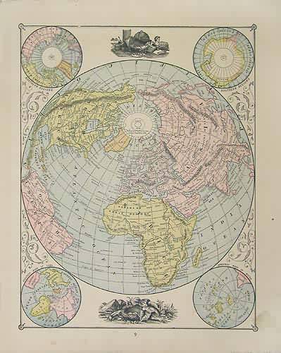
Globe Views
In stock
This map was made by George F. Cram for “Crams Unrivaled Family Atlas” in 1883. Five perspectives of the world are illustrated on this page. The southern and northern regions, the greatest masses of water and land, and the world projected from the north pole are shown.
Size: 9.5 x 12 inches
Condition: Good- age toning, smal tear
Map Maker: George F. Cram
Coloring: Machine Color
Year: 1883
Condition: Good- age toning, smal tear
Map Maker: George F. Cram
Coloring: Machine Color
Year: 1883
In stock


