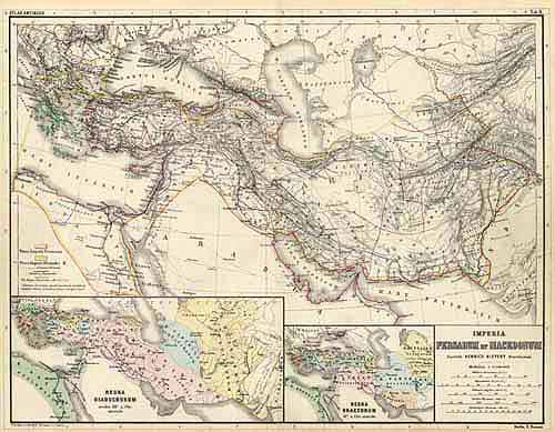
Imperia Persarum et Macedonia ( Armenia, Persian Empire and Macedonia )
Out of stock
This map was published by Dr. Heinrich Kiepert in 1900. All of Kieperts maps were published in latin and are visually pleasing with fine engraving and bright outline color.Part of the Roman Empire from Greece to the eastern edge of India, with insets showing the extent of the Empire showing the 3rd and 2nd centuries BC.
Size: 17.25 x 13.5 inches
Condition: Very Good
Map Maker: Dr. Heinrich Kiepert
Coloring: Original Outline Hand Color
Year: 1900
Condition: Very Good
Map Maker: Dr. Heinrich Kiepert
Coloring: Original Outline Hand Color
Year: 1900
Out of stock


