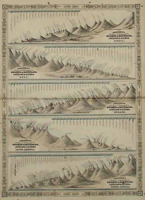
Johnsons Chart of Comparative Heights of Mountains, Lengths of Rivers of Africa, Asia, Europe, South America and North America’
In stock
This unusual five-section mountain and rivers chart was made by Johnson and Ward in 1864. The mountains and rivers of North America, South America, Europe, Asia, and Africa are shown in individual sections which are surrounded by a ‘ inch black and white iron scroll work border.
Size: 16.75 x 23 inches
Condition: Good- over all age toning, some spotting in margin that would not show up after framing
Map Maker: Johnson & Ward
Coloring: Original Hand Coloring
Year: 1864
Condition: Good- over all age toning, some spotting in margin that would not show up after framing
Map Maker: Johnson & Ward
Coloring: Original Hand Coloring
Year: 1864
In stock


