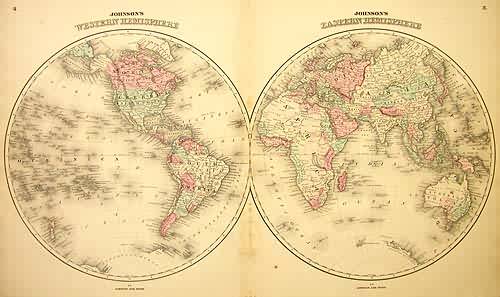
Johnsons Eastern and Western Hemisphere
In stock
This map is from Johnsons New Illustrated Family Atlas of the World printed in 1863 by Johnson and Ward. Johnson maps are characterized by hand coloring in red and green and distinctive border. This is a beautiful map of both the Eastern and Western Hemispheres colored in vibrant pastels. Details include counrties and important cities, rivers, and mountain ranges. Antartica’s coast has barely been explored.
Size: 27 x 15 inches
Condition: Very Good, some staining in center fold
Map Maker: Johnson and Ward
Coloring: Original Hand Coloring
Year: 1863
Condition: Very Good, some staining in center fold
Map Maker: Johnson and Ward
Coloring: Original Hand Coloring
Year: 1863
In stock


