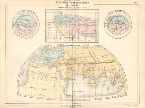
Les Principaux Systemes Geographiques des Anciens
In stock
This map is from a rare and incredibly thorough publication by the French publisher Bouillet. Full of the French sensibility of the time, this map combines fine craftsmanship with the latest information available. The end result is a map that is visually interesting and historically useful. The detail is quite good, while not being so dense as to obscure its legibility. Complimented by full hand color this small map is an interesting historical reference with a good deal potential for framing.
Size: 10.5 x 7.5 inches
Condition: Good
Map Maker: Par M.N. Bouillet
Coloring: Original Hand Coloring
Year: 1865
Condition: Good
Map Maker: Par M.N. Bouillet
Coloring: Original Hand Coloring
Year: 1865
In stock


