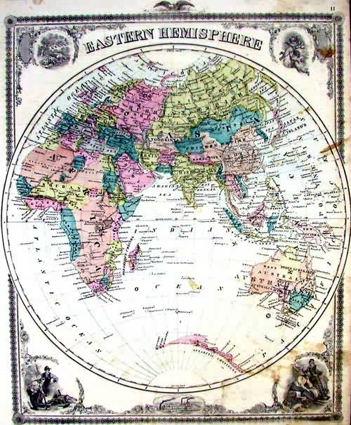
Map of the Eastern Hemisphere
Out of stock
This map is from A.T. Andreas” Illustrated Historical Atlas of the State of Iowa, printed in 1875. This map is of the Eastern Hemisphere. The unexplored state of the Antarctic coast is evident on this map.Illustrations are included in each corner and at the bottom center an illustration of the Sioux City and Pacificar train and ferry are shown. Country and important city names are given and major lakes, rivers and mountain ranges are identified.
Size: 13.75 x 16 inches
Condition: Good
Map Maker: A.T. Andreas
Coloring: Lithographic Coloring
Year: 1875
Condition: Good
Map Maker: A.T. Andreas
Coloring: Lithographic Coloring
Year: 1875
Out of stock


