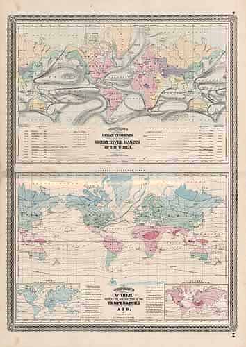
Ocean Currents, River Basins, and Temperatures of the World
In stock
This map is from Johnsons New Illustrated Family Atlas of the World printed in 1870 by A.J. Johnson. Johnson maps are characterized by hand coloring in red and green and distinctive borders, including iron scrollwork and a Celtic design. ‘
Size: 17 x 22.5 inches
Condition: Very Good
Map Maker: A.J. Johnson
Coloring: Original Hand Color
Year: 1870
Condition: Very Good
Map Maker: A.J. Johnson
Coloring: Original Hand Color
Year: 1870
In stock


