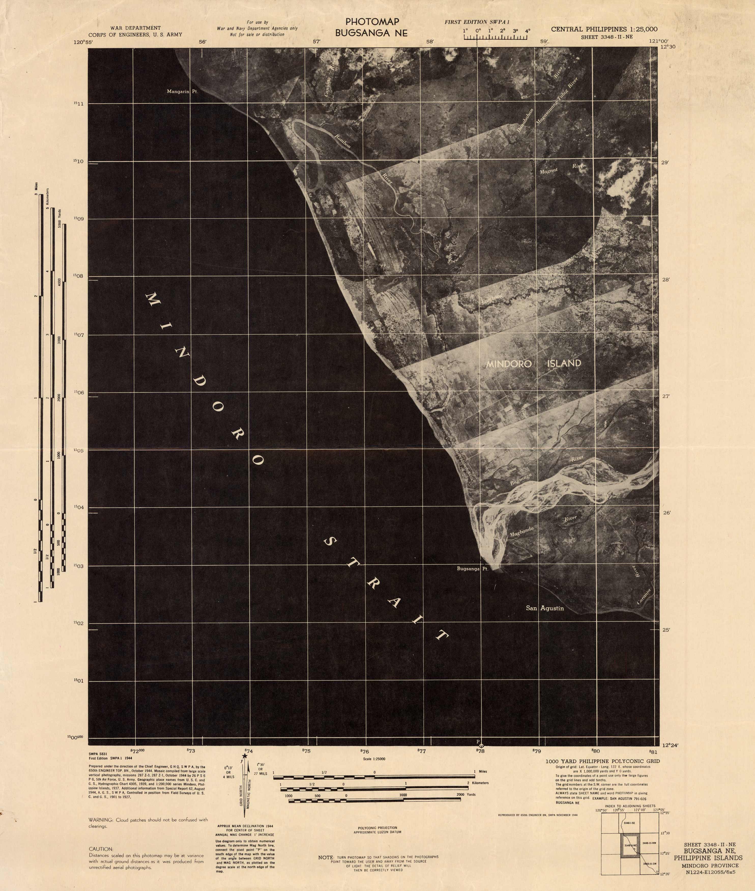
Photomap Bugsanga NE (Central Philippines)
In stock
This is a US Army photomap of Bugsanga NE, Central Philippines, in 1944. The Battle of Mindoro was a battle in World War II between forces of the United States and Japan, in Mindoro Island in the central Philippines, from December 13’16, 1944, during the Philippines campaign. This aerial view includes cities and towns, rivers, and the Mindoro Strait.
Size: 16 x 21.5 inches
Condition: Very Good, age toning and folds
Map Maker: US Army
Coloring: Black & White
Year: 1944
Condition: Very Good, age toning and folds
Map Maker: US Army
Coloring: Black & White
Year: 1944
In stock


