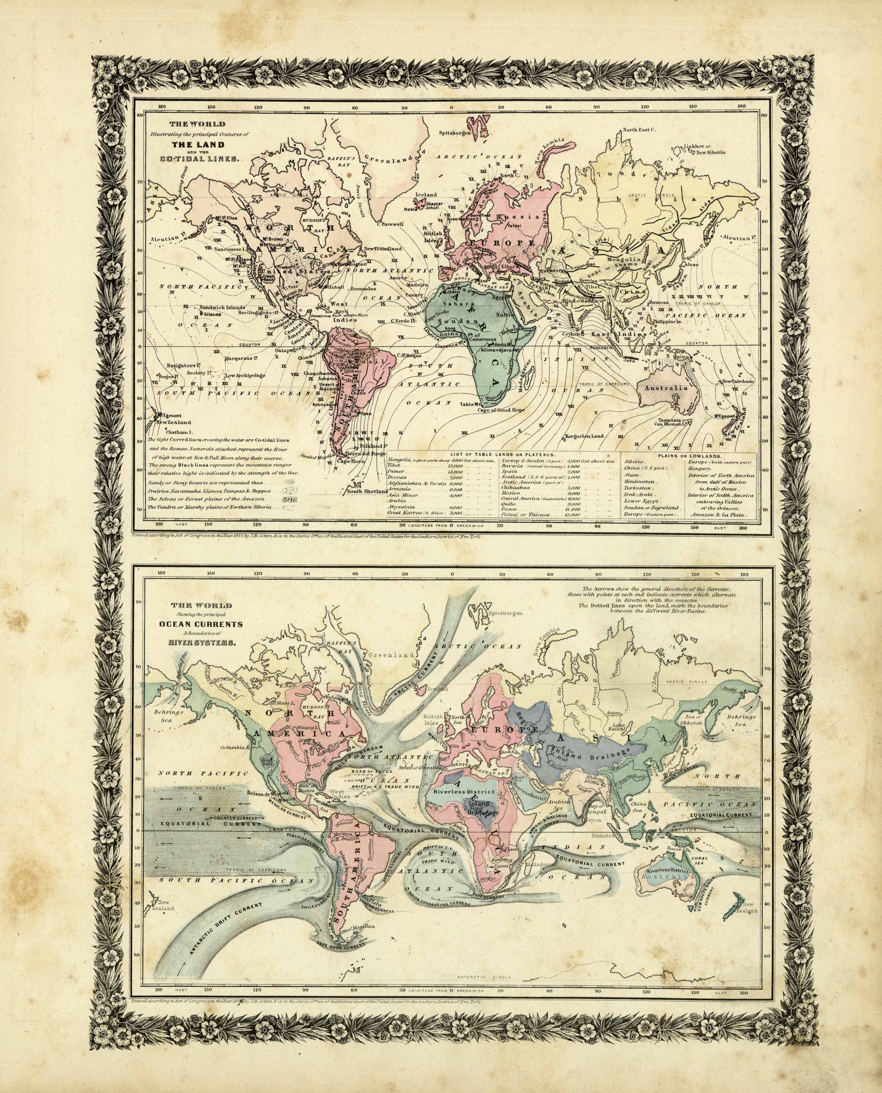
The World Illustrating the principal features of the Land and the Co-tidal Lines / The World Showing the principal Ocean Currents & Boundaries of River Systems
Out of stock
We are pleased to offer this rare map published by Joseph Hutchins Colton as part of his much sought after Illustrated Cabinet Atlas, published in 1859. This atlas was a departure from Coltons prior published atlases. The maps in this atlas were smaller in size, better engraved, and printed on finer paper. This is an opportunity to own a rare J.H. Colton map.
Size: 10.5 x 13 inches
Condition: Very Good
Map Maker: J.H. Colton
Coloring: Hand Color
Year: 1859
Condition: Very Good
Map Maker: J.H. Colton
Coloring: Hand Color
Year: 1859
Out of stock


