Verdun (France)
Out of stock
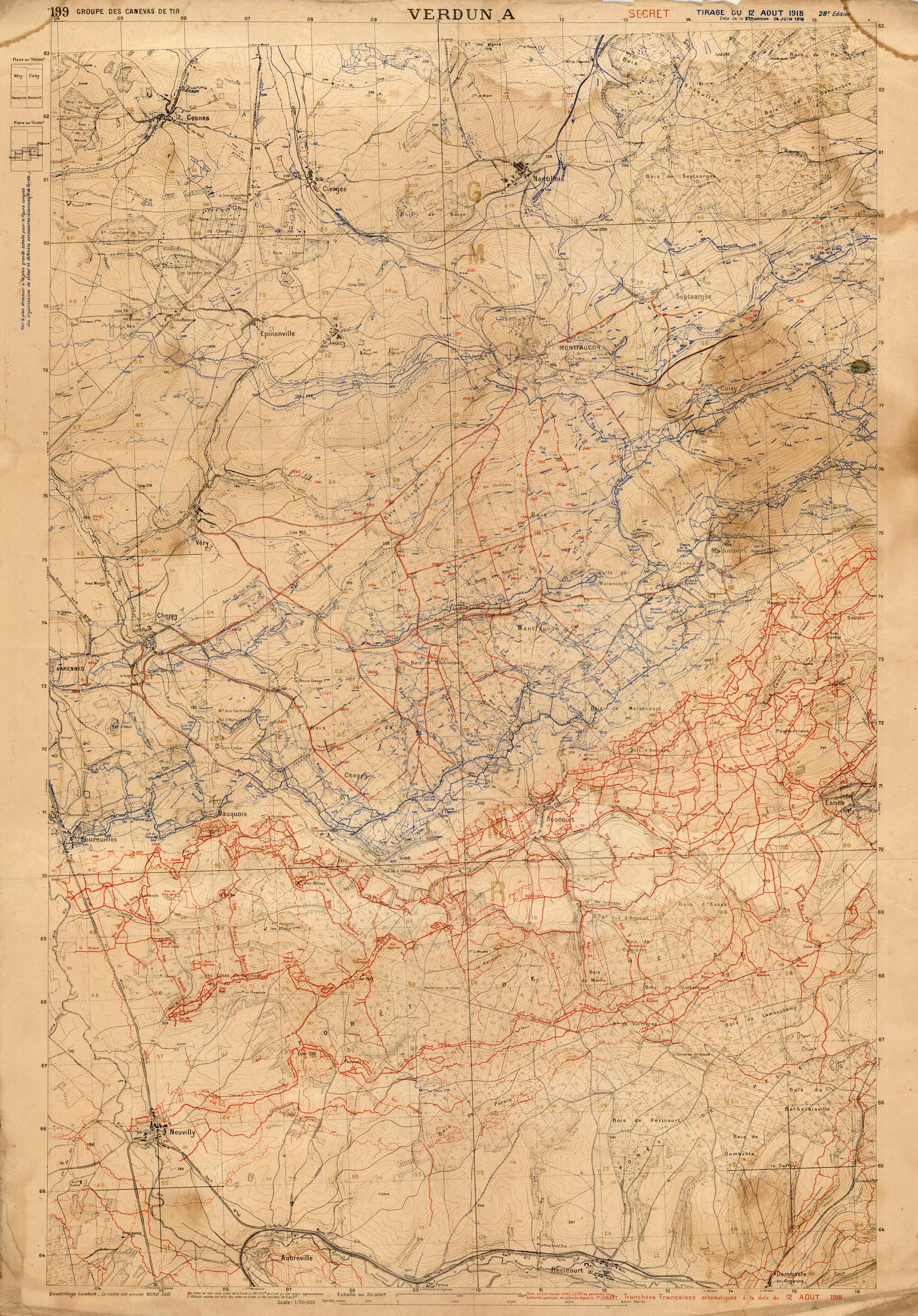
This detailed map of Verdun, France was created in 1918. The Battle of Verdun was fought from February 21- December 18, 1916 during the First World War on the Western Front between the German and French armies, on hills north of Verdun-sur-Meuse in north-eastern France. Topographic features, towns and cities, forests, railroads, and various other points of reference are shown on this map.
Size: 27.5 x 40.25 inches
Condition: Good, age toning and foxing, and stains
Map Maker: Groupe des Canevas de Tir
Coloring: Printed Color
Year: 1918
Condition: Good, age toning and foxing, and stains
Map Maker: Groupe des Canevas de Tir
Coloring: Printed Color
Year: 1918
Out of stock


