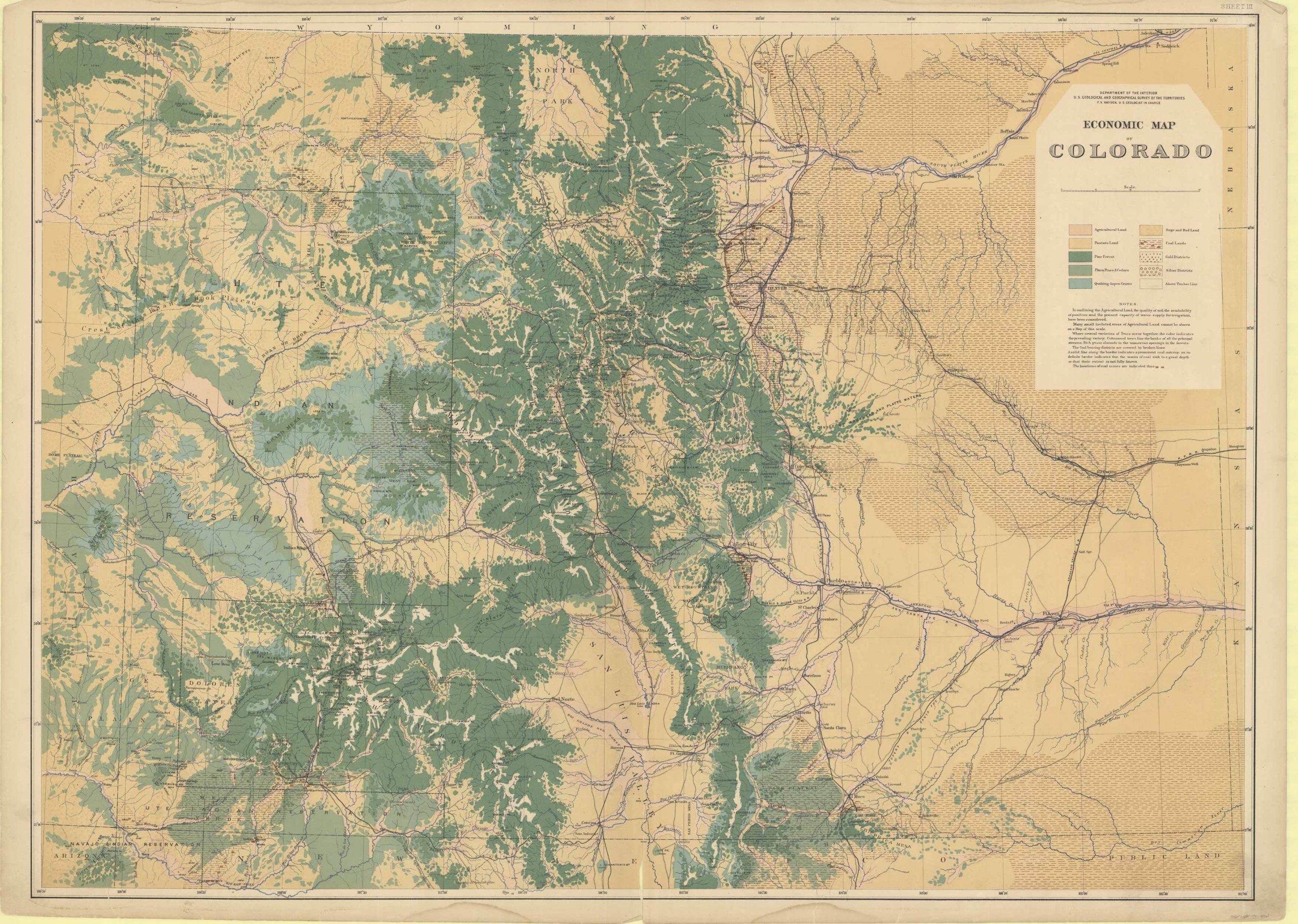
Economic Map of Colorado, by the Department of the Interior U.S. Geological and Geographical Survey of the Territories in 1881; F.V. Hayden U.S. Geologist in charge. This detailed map comes with a key that indicates what the differing colors and patterns mean on the map. Also featured are notes that explain the conditions of the land and give other explanations on mines, tree occurrences, Agricultural trends and more. This map shows many natural and man-made features such as rivers, creeks, mountains, towns and cities. Outlined are also Indian Reservations such as the Navajo and Ute Reservations.
Additional information
| Weight | 0.25 lbs |
|---|---|
| Dimensions | 26.75 × 37.5 × 0.002 in |
Map Maker: F.V. HAYDEN
Original Production Year: 1881
Year: 1881
Original Production Year: 1881
Year: 1881


