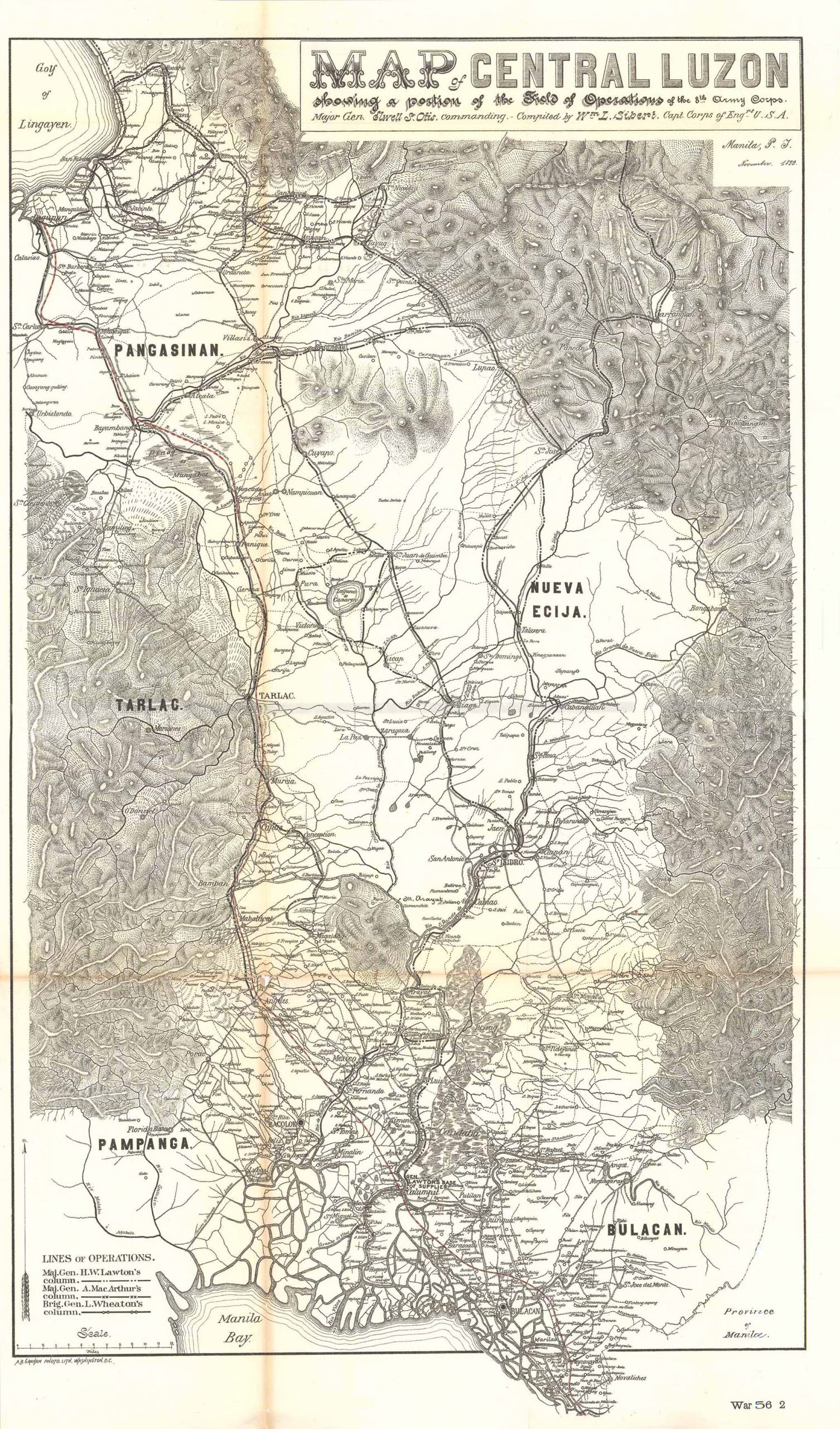
Map of Central Luzon
In stock
Map of Central Luzon, showing a portion of the Field of Operations for the 8th Army Corps, Major General Elwell S. Otis, commanding. Compiled by Wm L. Sibert, Captain Corps of Engineers. This map of central Luzon is extremely rare and considered to be one of the most detailed maps to come from the war. It was published during the culmination of the Philippine-American War, (1899 – 1902) and details many cities, towns, villages, telegraph lines, roadways, rivers, and lakes. Also shown is the topography in central Luzon and the area north of Manila Bay to Lingayen Gulf.
The central area of Luzon depicted on this map was the most active theater during the early stages of the war. At the time, Philippine forces controlled the majority of the land. This map shows the advance of three different columns of troops led by Major General’s H.W. Lawton, A. MacArthur, and L. Wheaton.
Condition: This map is in extremely good condition. There is slight age toning along the fold lines and two very subtle tears: one in the bottom margin and one in the fold line.
Map Maker: Andrew B. Graham
Original Production Year: 1900
Coloring: Black & White
Year: 1900
In stock


