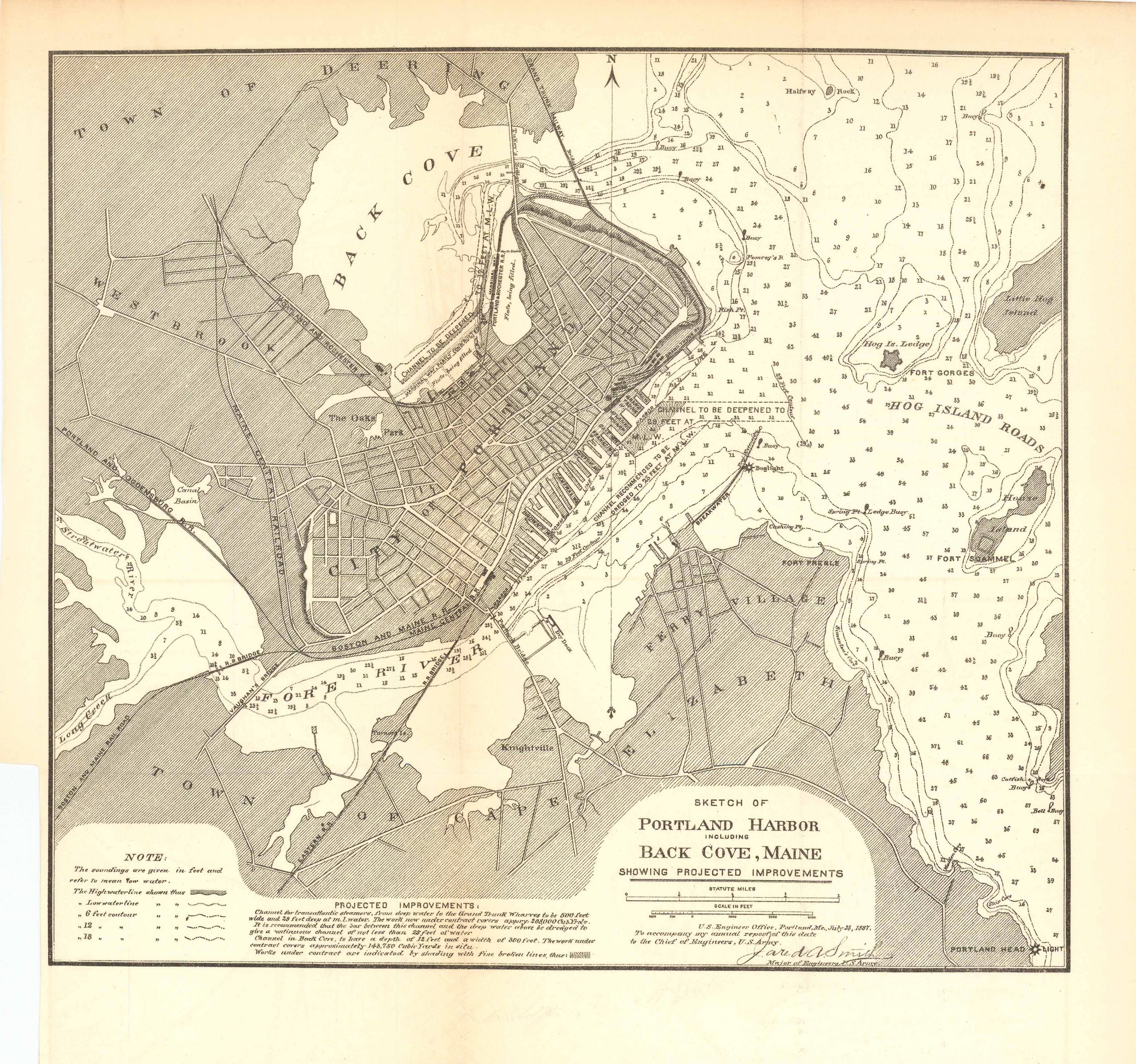
Map Sketch of Portland Harbor Including Back Cove, Maine 1887
In stock
This map is a sketch of Portland Harbor including Back Cove, Maine. Drawn up by the U.S. Engineer Office, Portland, Me. July 28 1887 to accompany the annual report of this date to the chief of engineers, U.S. Army, Jared A. Smith. This detailed map comes with a note and features the “projected improvements” along with the town of Cape Elizabeth, Ferry Village, Fort Scammel, Fort Preble, Knightville, the Fore River, Long Creek, Westbrook, Back Cove, the Town of Deering among others.
Size: 11.25 x 10 inches
Condition: Very good
Map Maker: U.S. Corps of Engineers
Original Production Year: 1887
Coloring: Black & White
Year: 1887
Condition: Very good
Map Maker: U.S. Corps of Engineers
Original Production Year: 1887
Coloring: Black & White
Year: 1887
In stock


