|
||
Report of a Reconnaissance from Carroll, Montana Territory on the upper Missouri, to the Yellowstone National Park, and Return, Made in the Summer of 1875
In stock
Royal blue cloth hardcover with gilt-stamped spine. Included are all three folding maps and both plates. Discrete surplus copy stamp from LOC to front fre endsheet. Includes fossil report with plates; geologic report by George Bird Grinnelland a zoological report also by Grinnell. An early and important work on Yellowstone, just three years after it was made into a National Park in 1872.
Ludlow’s Yellowstone expedition surveyed the territory between the Upper Missouri River and Yellowstone Park. In addition to gathering data for accurate topographic maps of the region, members also studied the region’s geology and zoology. The geologists on the expedition were Edward S. Dana and George B. Grinnell. The reports furnished by Dana are amongst his earliest contributions to geology. Grinnell was considered the “father of American conservation” and developed his insights on conservation while on this expedition. It should be noted that even in 1876 their was a call for an environmental conscience. Ludlow notes that “wanton destruction of what was to be for the edification of all” was occurring within Yellowstone National Park and game was being slaughtered in large numbers. His answer to this problem is “a thorough mounted police of the park” or the presence of troops and transfer of the park to the War Department until its preservation could be guaranteed.
Ludlow’s report was accompanied by three maps. The first map is titled “Map of a Reconnaissance from Carroll Montana Ter. to the Yellowstone National Park and Return. The scale is 12 inches to the mile. Size is 19 inches x 24 inches. The second map is titled “Upper Geyser Basin” which shows many of the regions geysers. Size is 15.5 inches x 9 inches. The third map is titled “Judith Basin” and shows on a larger scale some of the country reported on in the first map from the Missouri River to the Little Belt Mountains. Size is 12 inches by 17.25 inches.
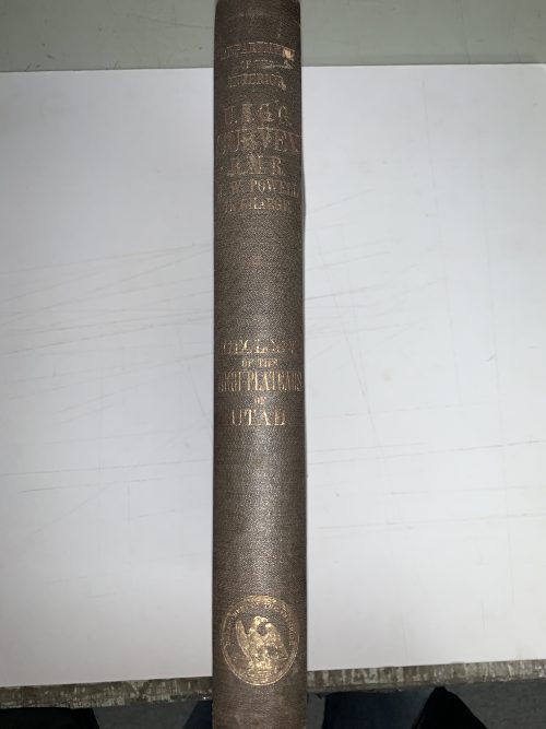
Condition: This book is in excellent condition. The hardcover is intact with only slight wear and tear around the edges and corners. Gilded title on spine is still in good condition. Inside pages, maps, and illustrations are all in very good condition.
Dimensions: 9.5 x 12 inches
Pages: 155
Hardcover: Yes
Print Maker: Government Priting Office
Condition: Excellent
Original Production Year: 1876
Year: 1876
In stock