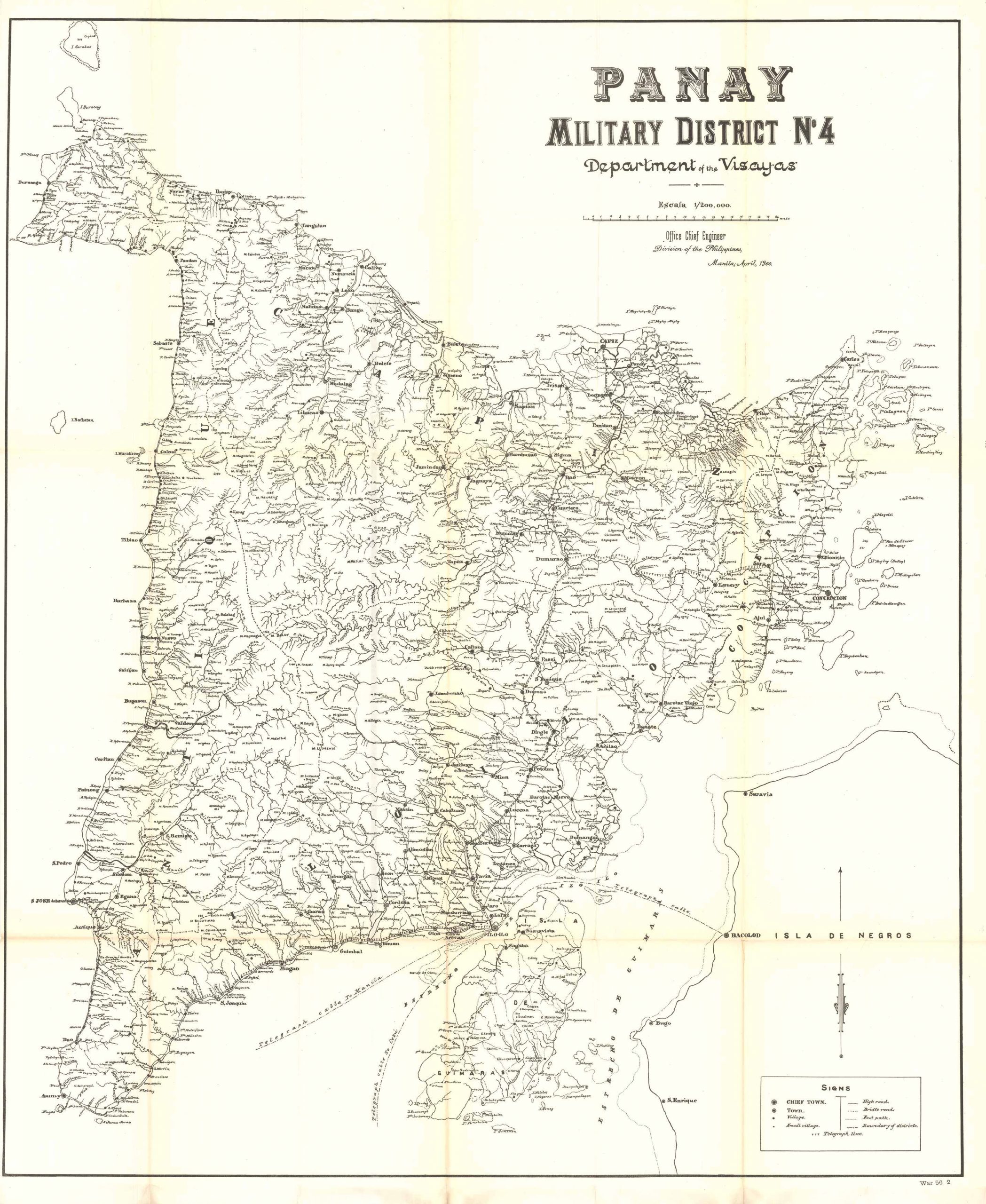
Panay Military District No. 4, Department of the Visayas, 1900
In stock
Extremely rare map of the Panay Military District No. 4, Department of the Visayas, Philippines. This rare map was issued at the height of the Philippine-American War (1899 – 1902) and was done by the office of the Chief Engineer in the Philippines. This particular campaign in the Visayas began about 4 days after the campaign near Manila on Luzon. The fighting began at Iloilo on Panay, followed by the occupation of Cebu City. This highly detailed map showcases the entire Island of Panay, including villages, towns, the Myriad Rivers, as well as the Negros Islands. Telegraph lines are shown crisscrossing around the island.
Size: 32 x 38 inches
Condition: Excellent condition, very slight age toning at folds and no damage.
Map Maker: Elwell Stephen Otis
Original Production Year: 1900
Coloring: Black & White
Year: 1900
Condition: Excellent condition, very slight age toning at folds and no damage.
Map Maker: Elwell Stephen Otis
Original Production Year: 1900
Coloring: Black & White
Year: 1900
In stock


