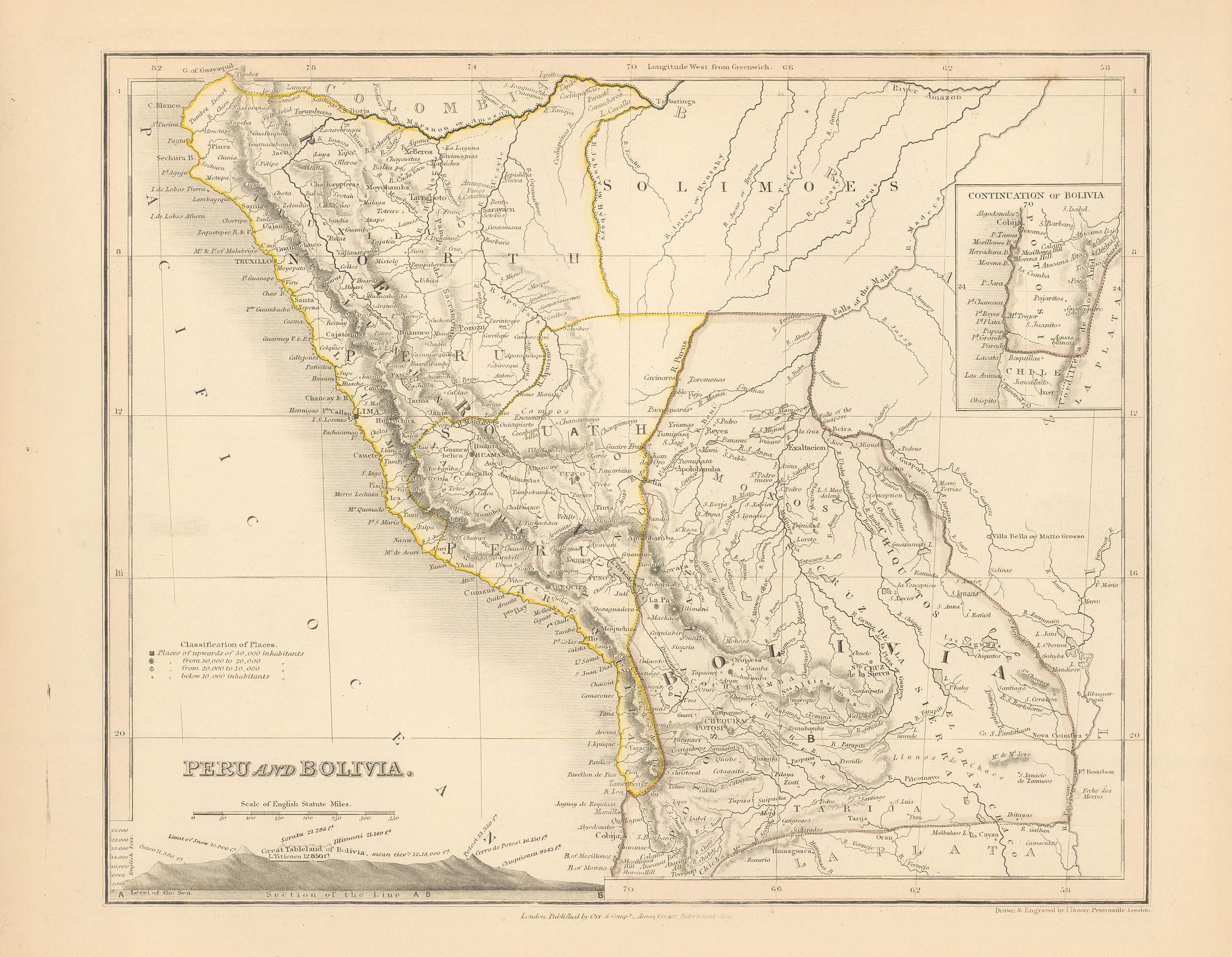
Milner’s 1850 Map of Peru and Bolivia
In stock
This wonderful map is the work of Reverend Thomas Milner. The map is derived from the work of Augustus Peterman. 1850 was the first edition of his atlas, “A Descriptive Atlas of Astronomy and of Physical and Political Geography”. This atlas has not only political maps of the world but also Thematic maps showing the meteorology, hydrography, zoology, botany, ethnography, and other aspects of the physical world. In over 20 years there have only been two examples of Millner-Petermann atlas sold. These maps are hand colored in outline and were printed in London.
Size: 10.5 x 9 inches
Condition: Very Good
Map Maker: Reverend Thomas Milner
Coloring: Original Hand Color
Year: 1850
Condition: Very Good
Map Maker: Reverend Thomas Milner
Coloring: Original Hand Color
Year: 1850
In stock


