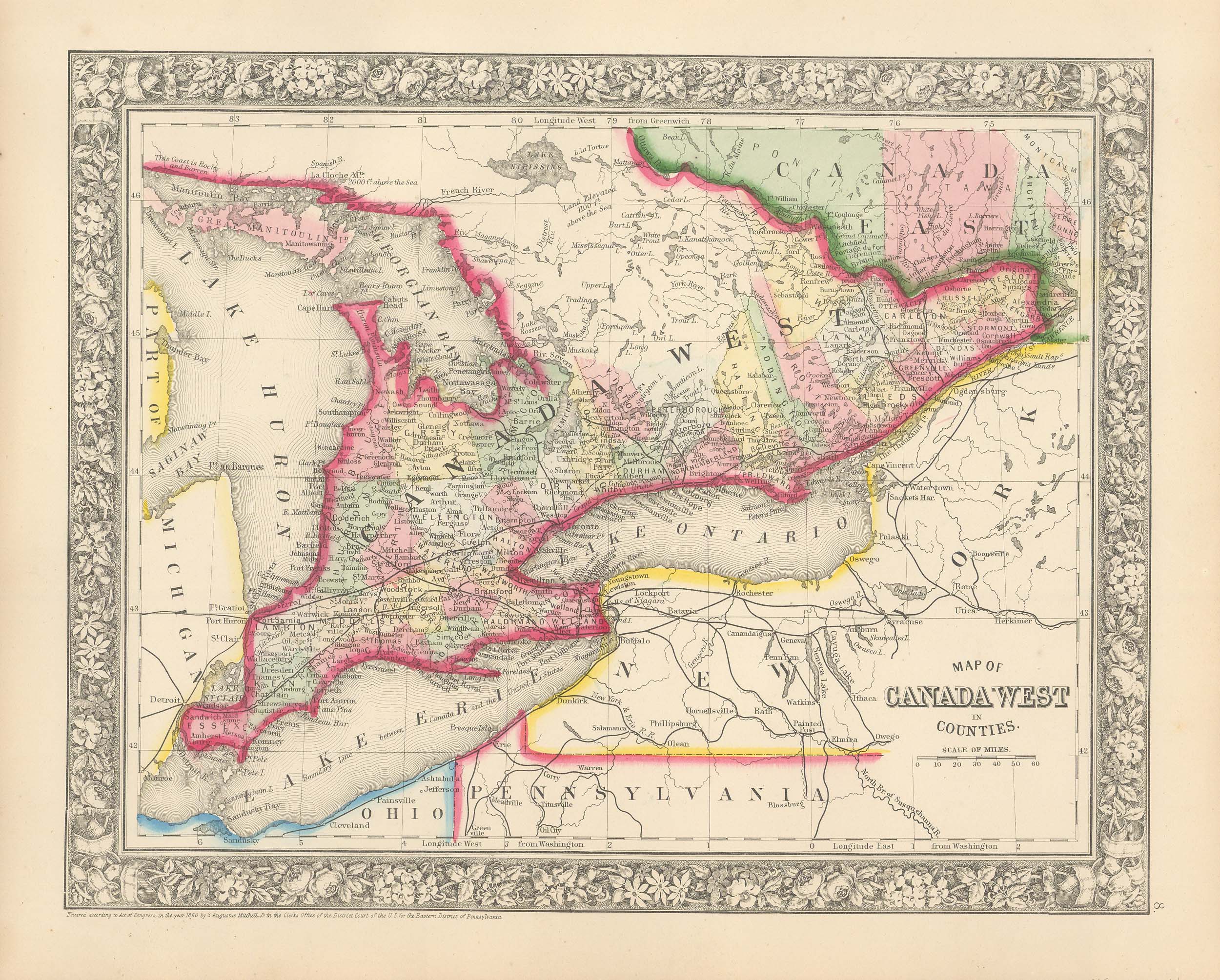
Mitchell’s 1865 Map of Canada West in Counties
In stock
In 1860 S. Augustus Mitchell Jr. took over his father’s map publishing business and in that year he started publishing Mitchell’s New General Atlas. Editions of the new general were issued annually until 1887. Mitchell Jr. continued publishing this atlas until 1879. The editions from 1880 to 1887 were published by Wm. M. Bradley. This map published in 1865 is a wonderful example of Mitchell’s map-making prowess with beautiful original hand-coloring.
Size: 13.5 x 10.5 inches
Condition: Very Good
Map Maker: S. Augustus Mitchell Jr.
Coloring: Hand-Colored Engraving
Year: 1865
Condition: Very Good
Map Maker: S. Augustus Mitchell Jr.
Coloring: Hand-Colored Engraving
Year: 1865
In stock


