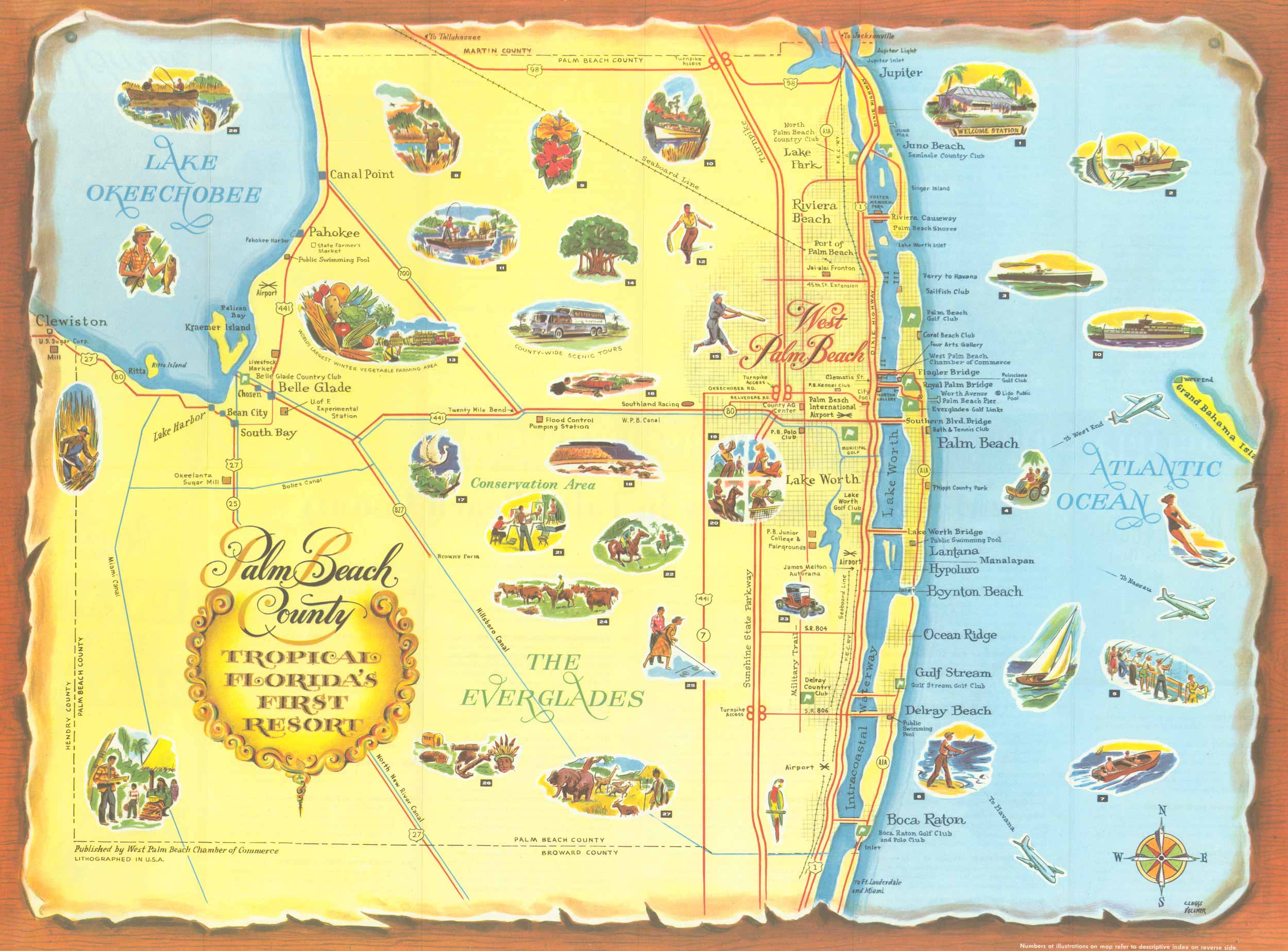
1960 Pictorial Map of Palm Beach Florida, Tropical Florida’s First Resort
In stock
1960 Pictorial Map of Palm Beach Florida, “Tropical Florida’s First Resort.” The map shows roads, canals, and the Intercoastal Waterway as well as points of interest such as beaches, country clubs, and golf clubs. Throughout the map, there are illustrations showing recreational activities and tourist attractions. Published by West Palm Beach Chamber of Commerce.
Size: 23.75 x 17.75 inches
Condition: Very Good
Year: 1960
Condition: Very Good
Year: 1960
In stock


