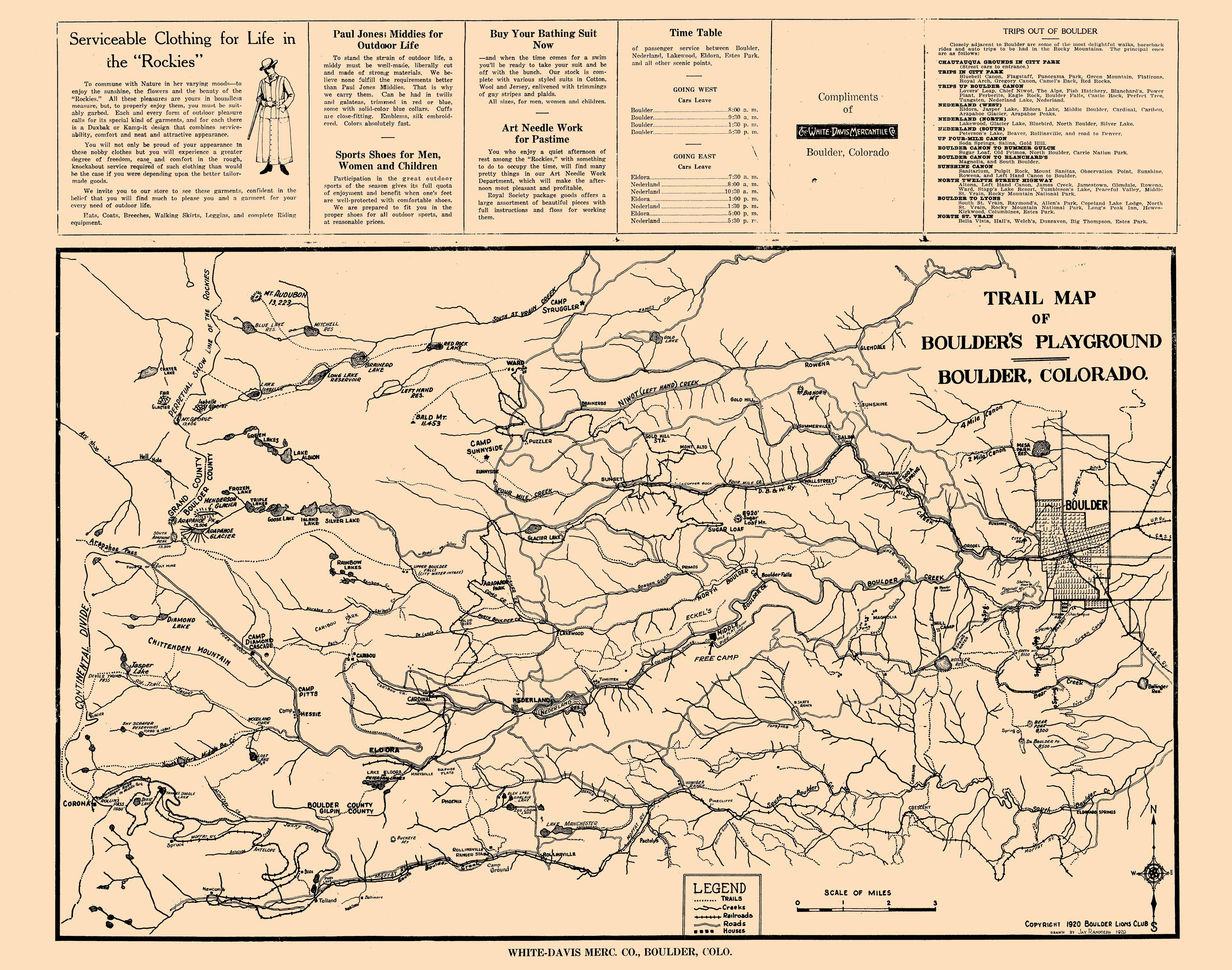
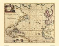
This hand-drawn map trail map of Boulder and the foothills shows towns, houses, roads, trails, railroads, as well as lakes, creeks, and other interesting geographical features. Along the top is some early twentieth century local advertising from the White-Davis Mercantile Co., a time table for passenger car service to and from Boulder, and a list of suggested side-trips out of Boulder.
Additional information
| Weight | 0.25 lbs |
|---|---|
| Dimensions | 18.9 × 24 × 0.002 in |
Map Maker: Jay Randoeph, Boulder Lions Club, for the White-Davis Mecantile Co.
Original Production Year: 1920
Original Production Year: 1920


