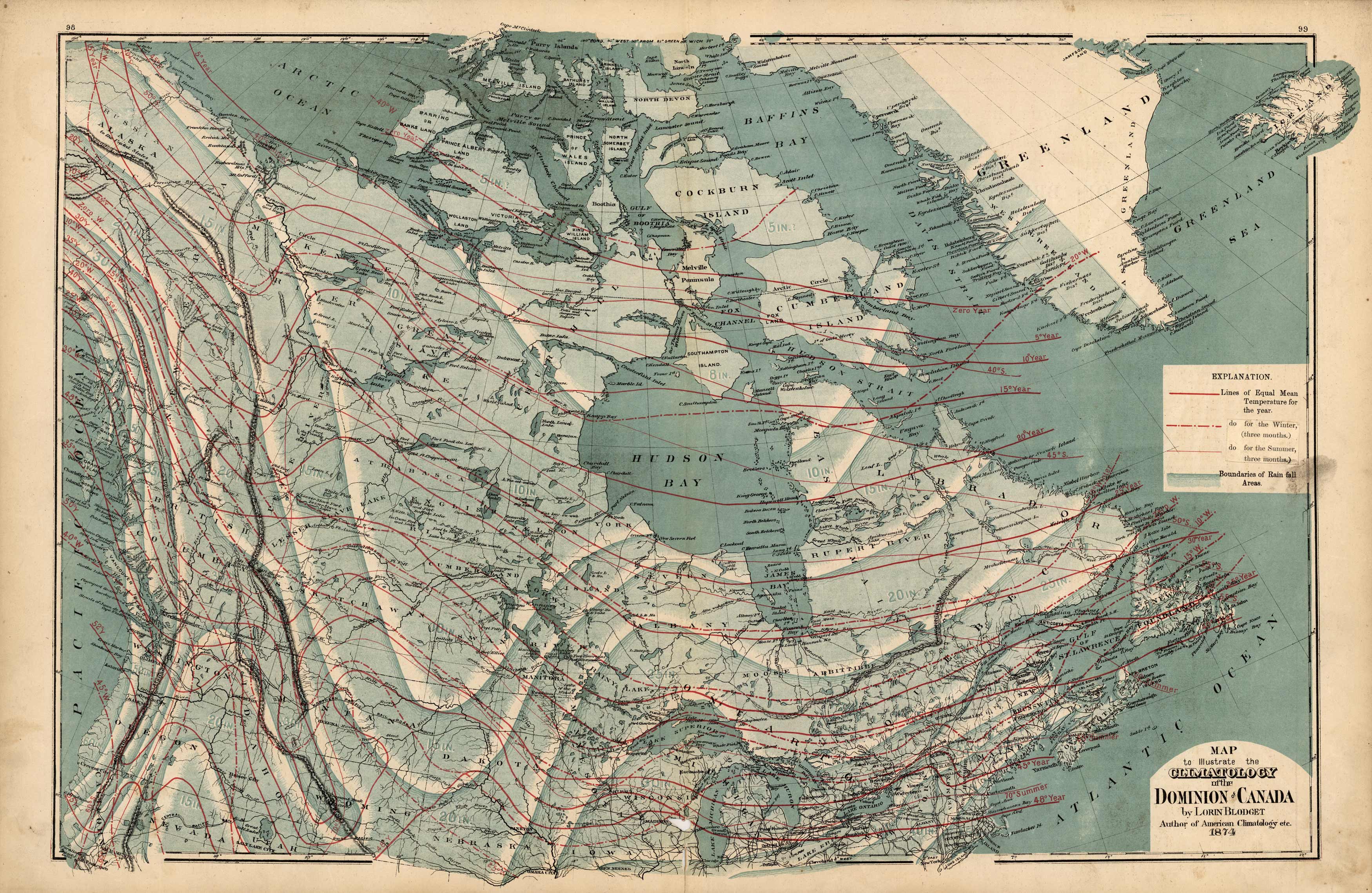
Map to Illustrate the Climatology of the Dominion of Canada
In stock
H. F. Walling made the maps in “Tackaburys Atlas of the Dominion of Canada” in 1875. This map shows the climatological features of the Dominion of Canada. A key describes the features used to identify seasonal temperatures and rainfall (partially obscured by the remains of a label that was placed on top of the key).
Size: 50 x 26 inches
Condition: Very Good-age toning, minor foxing, smudges in margin
Map Maker: H. F. Walling, C. E.
Coloring: Machine Color
Year: 1875
Condition: Very Good-age toning, minor foxing, smudges in margin
Map Maker: H. F. Walling, C. E.
Coloring: Machine Color
Year: 1875
In stock


